## Accommodation in Anthonys Kraal
Formal listings for Anthonys Kraal are not currently available through major booking platforms, with no properties listed at the time of writing and rates therefore unconfirmed. This reflects the settlement's character: a small farming community in the Karoo interior rather than an established tourist hub. Visitors planning a stay here typically make arrangements directly with farms and rural guesthouses in the surrounding district.
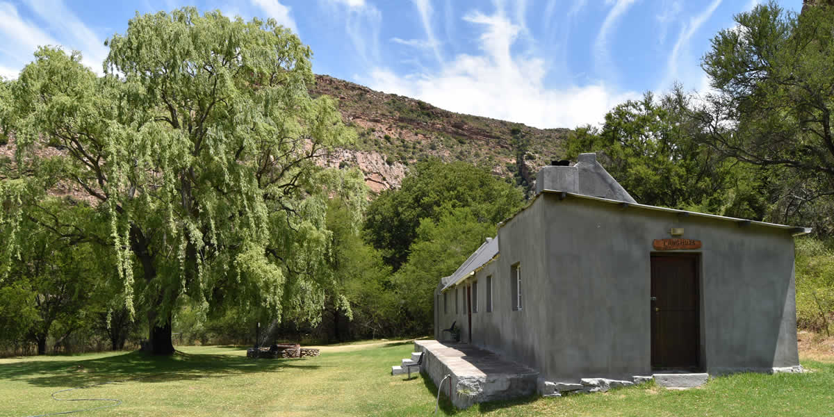
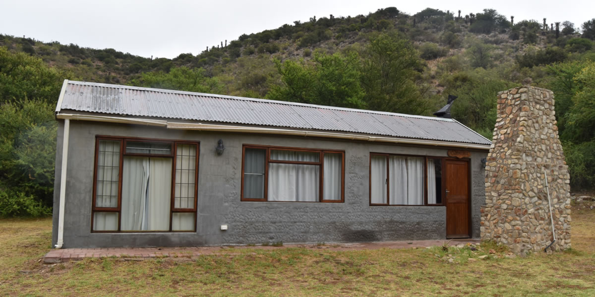
At the more affordable end, the Karoo has a tradition of self-catering cottages on working sheep farms, where accommodation is simple but the surroundings do much of the work. Converted farm outbuildings are common across this part of the Northern Cape, and the appeal lies in the space and quiet rather than in facilities. These options suit those travelling light and happy to prepare their own meals using supplies stocked before leaving the nearest town.
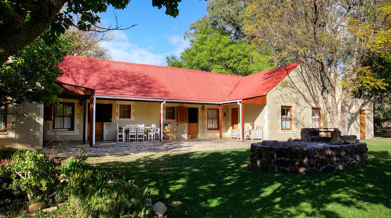
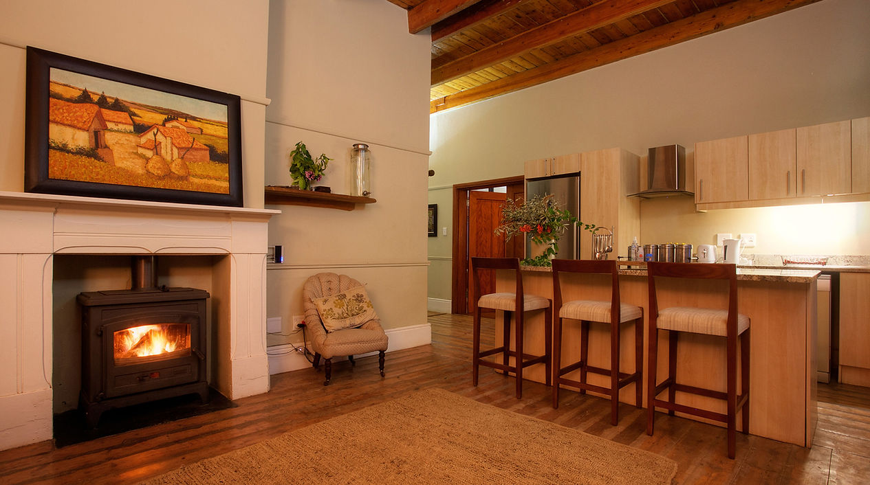
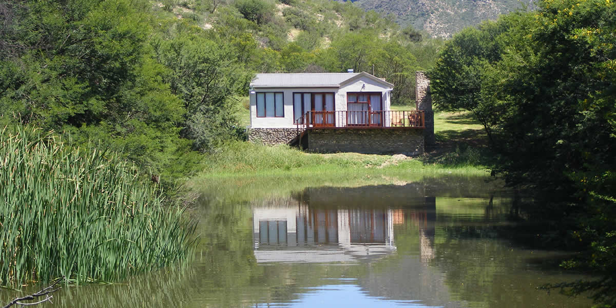
Moving up in comfort, farm guesthouses with dinner and breakfast included represent the middle ground across this region. Owners who have spent decades on the land make willing guides to the local environment, pointing out wildlife, geological features, and the best spots from which to watch the night sky. Accommodation at this level usually includes private bathrooms, a shared sitting room, and outdoor seating with views across open veld.
The upper tier in this part of the world tends to remain on a human scale. Restored farmhouses with en-suite rooms, covered stoeps overlooking the plains, and a swimming pool for the summer heat are available in the broader Karoo district. Even at this level the atmosphere is informal and the service personal. Guests can expect home cooking that draws on local produce, with lamb from the surrounding farms a fixture on most menus. This is sheep country by heritage and by economy, and that comes through in the food as much as in the landscape.
## Best Time to Visit Anthonys Kraal
The Karoo climate at Anthonys Kraal divides sharply between seasons. Summer, from November through February, brings intense heat, with daytime temperatures frequently above 35°C in the open veld. The heat is dry, and outdoor exploration is best done in the early morning or late afternoon when the sun is lower. Rain, when it comes, arrives mainly in summer as short, intense thunderstorms that can temporarily bring colour to the brown landscape.
Spring and autumn offer the most agreeable conditions for travel. From August through October, temperatures are moderate, wildflowers emerge across the veld after any recent rains, and the days are long enough for extended drives. March and April bring similar conditions, with the summer heat easing and the light taking on the warm, amber quality characteristic of the Karoo at that time of year.
Winter, from June to August, is cold by night and crisp by day. Frost is common overnight, and temperatures can drop well below zero on the open plains. This suits visitors interested in stargazing, as the winter skies in this part of the Northern Cape are exceptionally dark and clear. There is no distinct tourist peak season in Anthonys Kraal, though South African school holidays in December, April, and July bring a general uptick in domestic travel across the region.
## Getting to Anthonys Kraal
The most practical approach by air is through Nelson Mandela Bay Airport in Gqeberha (formerly Port Elizabeth), which serves the Eastern Cape and connects to Johannesburg and Cape Town with frequent daily flights. From Gqeberha, the drive into the Karoo interior takes roughly two to three hours via regional routes that cross into the Northern Cape, passing through small dorps where fuel and basic supplies are available.
From Cape Town, the journey covers around 500 kilometres through the Hex River valley and into the Karoo via the N1, before turning east on connecting roads toward the Northern Cape interior. The roads are long and largely straight, and the drive itself gives a good introduction to the scale of the landscape. From Johannesburg, travellers heading south via Bloemfontein join the Karoo road network at several points, with the total distance typically above 700 kilometres.
There is no public transport serving Anthonys Kraal. A private vehicle is essential, and a car with reasonable ground clearance is advisable, as access roads in this area can be unsurfaced. Fuel should be filled before leaving the nearest town. The distances between petrol stations in the Karoo interior are considerable, and in farming areas, assuming a station will be open is not always reliable.
## Anthonys Kraal and Surrounding Areas
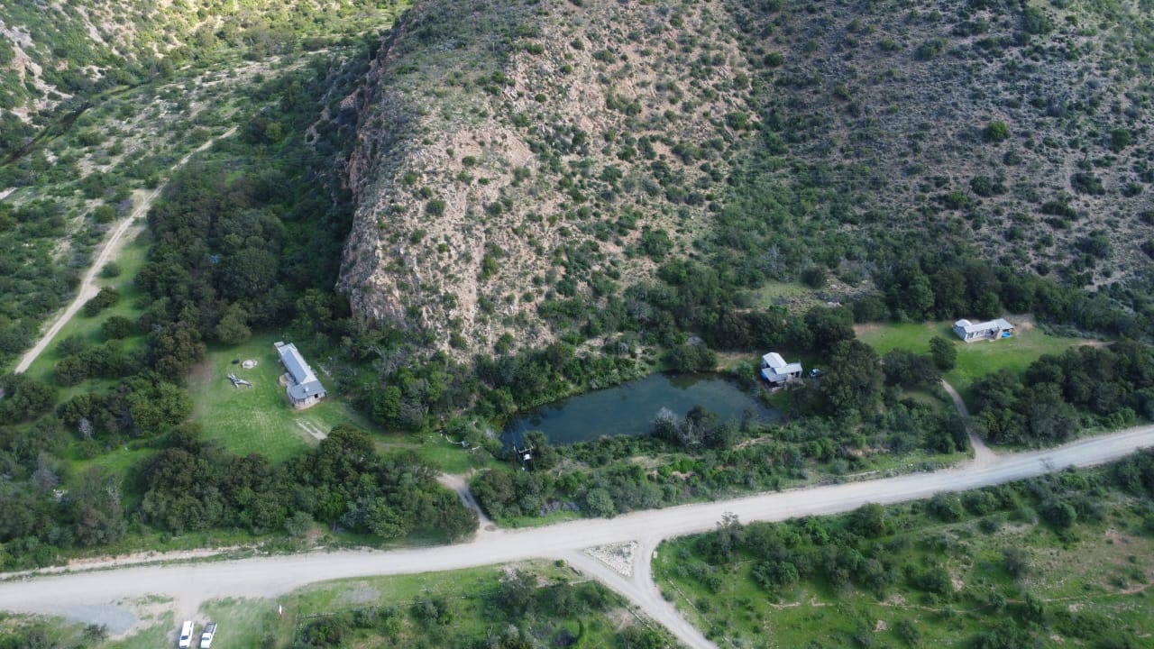
The Groot River Valley, just 15 kilometres away, offers the closest natural point of interest. The river valley cuts through the Karoo landscape and provides a contrast to the surrounding plains, with riparian vegetation and birdwatching opportunities along the watercourse. The rock faces along the valley edges carry visible geological layering, and the area draws visitors with an interest in Karoo geology and fossil history.
Steytlerville, at 28 kilometres, is the nearest town of any practical size and serves as the service hub for the district. It is a small dorp with a history tied to the wool trade, and its older buildings reflect the architecture of Eastern Cape farming towns from the nineteenth and early twentieth centuries. The town has a museum documenting local farming history, a few historic churches, and the basic amenities needed for stocking up before returning to more remote areas.
Knoetze, at 35 kilometres, is a small farming community where the road passes through large land holdings typical of the Karoo. The settlement itself is minimal, but the drive between Anthonys Kraal and Knoetze passes through open veld with the kind of wide horizons and minimal human infrastructure that define this part of the province.
Bernardshoek, 41 kilometres out, sits in a similar farming context, with the terrain shifting slightly as elevation changes on the approach. The roads between these communities carry little traffic, making them useful for slow drives focused on the landscape rather than on reaching a destination quickly.
Krakeelrivier, at 53 kilometres, takes its name from the Afrikaans for quarrel river, a place name that hints at some long-forgotten local event. The settlement is small, and the surrounding country continues the pattern of open Karoo veld interspersed with rocky outcrops and dry watercourses.
Grootrivierdrif, the furthest at 56 kilometres, marks a historic drift on the Groot River. These shallow crossings were central to early transport routes in the Karoo, when travellers and livestock moved between farms along tracks that followed the most practicable lines across the landscape. The name preserves that history and gives the location a specific character worth knowing before you arrive.
## Planning Your Stay
Given the limited formal booking infrastructure around Anthonys Kraal, direct contact with properties well in advance is the safest approach. South African school holidays bring increased demand across the Karoo, so reaching out at least six to eight weeks ahead during those periods is reasonable. Outside of holidays, the area sees modest visitor numbers and last-minute arrangements are sometimes possible, but the small size of most properties means a single group can fill available rooms.
Before confirming a booking, ask directly about road surface conditions on the access route, particularly after summer rains, which can make unsurfaced roads impassable for ordinary vehicles. Establish whether the property requires a four-wheel drive. Confirm what meals are included and what cooking facilities exist for self-catering guests, since supply options are limited once you leave Steytlerville.
Mobile coverage is inconsistent in the Northern Cape interior, and some properties use satellite phones or radio as backup communication. Knowing how to reach your host in an emergency, and how they will reach you, is worth sorting out before departure. Carry a printed or downloaded map, as GPS coverage on secondary roads can be unreliable. A basic first-aid kit, extra water, and a vehicle recovery kit are standard preparations for travel in the Karoo interior.