## Accommodation in Armmansvriend
Currently, there are no properties formally listed for Armmansvriend, and pricing information is unavailable as a result. This reflects the practical reality of a settlement where accommodation operates through direct contact with farm owners, local referrals, and arrangements that rarely appear on mainstream booking platforms. For travelers prepared to make a few phone calls before arriving, overnight options do exist in the surrounding farming district.
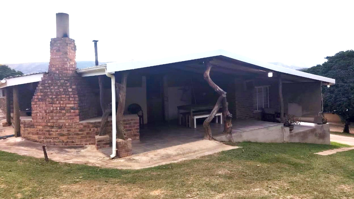
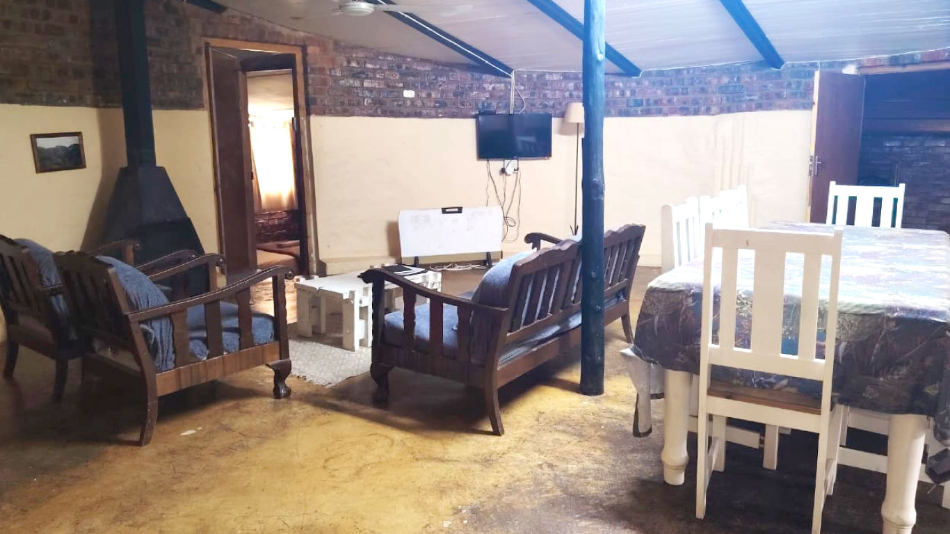
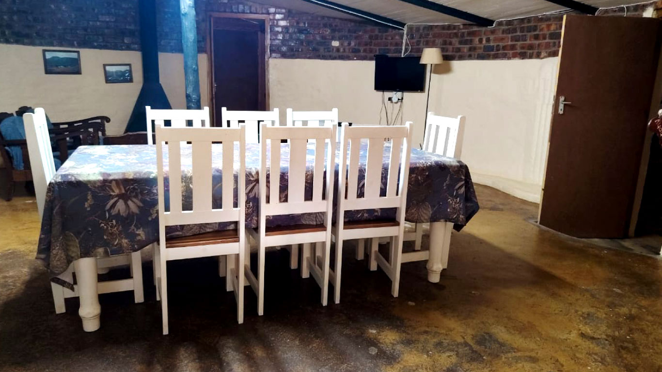
Farm stays form the foundation of what is available. These are working agricultural properties where guests sleep in converted outbuildings, farmhouse rooms, or self-catering cottages, and the experience is shaped entirely by the farming environment. Early mornings, the sounds of livestock, and wide views across dry open land are constants. Hosts tend to have an intimate knowledge of the area built from years of working it, and conversations at mealtimes often cover weather patterns, farming cycles, and the particular challenges of managing land in a semi-arid climate.
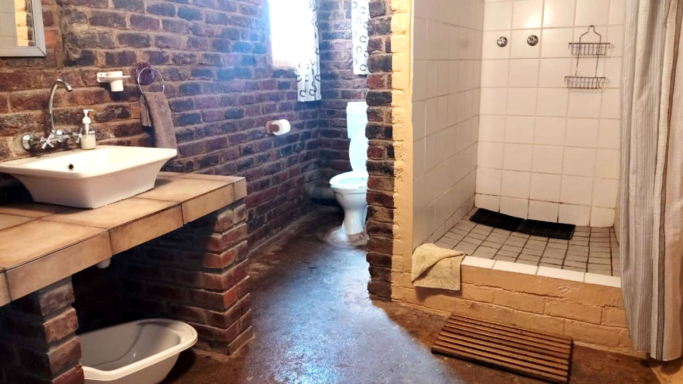
At the budget end, a basic room in a farmhouse, often with shared bathroom facilities and meals included, is the most common arrangement. This format suits travelers passing through on a longer drive and those happy to adapt to the rhythm of the host household.
Mid-range options, where they can be found, typically involve self-contained cottages with private facilities and a braai area. These work better for stays of two or more nights, offering more independence while keeping guests in direct contact with the surrounding landscape. Small groups traveling together will find this format the most practical.
Anything resembling upper-market accommodation is not available in or immediately around Armmansvriend. Travelers with those expectations are better served by more established lodges in larger Karoo towns further afield.
Most bookings happen over the phone rather than through online platforms. Flexibility on dates is helpful, as farm stays often operate around the owner's schedule rather than a fixed availability calendar. Enquiring at least a few weeks ahead is advisable given the thin availability in the area.
## Best Time to Visit Armmansvriend
The climate follows a semi-arid pattern, with low annual rainfall and significant temperature swings between seasons and between day and night. Summer, from November through February, brings the hottest conditions, with midday temperatures regularly exceeding 35 degrees Celsius. Brief but intense thunderstorms occur during this period, occasionally leaving dirt roads muddy and difficult for standard vehicles. Despite the heat, summer evenings cool enough to sit outdoors comfortably.
Winter, from June through August, is the most comfortable time for daytime activity. Temperatures remain mild during daylight hours but drop sharply after sunset, with frost common overnight and in the early morning. The dry, clear air makes for exceptional stargazing, and daytime visibility across the landscape is at its best. Visitors with an interest in farm operations will find this a busy period, as shearing and other seasonal tasks occupy much of the agricultural calendar.
Spring and autumn provide moderate temperatures and the most consistent traveling conditions. After early spring rain, the semi-arid vegetation produces brief flowering that adds colour to an otherwise muted landscape. These shoulder periods suit those wanting to drive the back roads without weather risk.
There is no defined tourist season in any conventional sense. The December school holiday period brings marginally more traffic through the interior routes, but Armmansvriend remains quiet relative to any established visitor destination.
## Getting to Armmansvriend
A personal vehicle is essential, both for reaching Armmansvriend and for moving around once there. No public transport serves this area, and the gravel roads connecting farms and smaller settlements require a reliable car with reasonable ground clearance.
The most practical air access is through George Airport or Gqeberha, both of which lie roughly 180 to 200 kilometres away. Hire cars are available at both airports. From Gqeberha, the drive takes approximately two and a half hours using the N9 and the roads running through the Eastern Cape interior. Approaching from George, the route through Uniondale and the Outeniqua Mountains adds scenic variation before joining the roads that lead north into the Karoo.
From Cape Town, the drive takes around five to six hours depending on the route chosen through the interior. Travelers from Johannesburg would typically approach via the N1 before turning south into the Eastern Cape.
Fill the fuel tank before leaving any substantial town, as rural fuel stations are scarce and operating hours can be irregular. Mobile reception is reliable on the main sealed roads but drops in valleys and on quieter farm tracks. Downloading offline maps before leaving a town with strong connectivity is straightforward and saves frustration later.
## Armmansvriend and Surrounding Areas
Andrieskraal, 14 kilometres away, is a farming settlement with the same semi-arid agricultural character as Armmansvriend. It serves primarily as a waypoint for navigating the local road network rather than as a destination in itself, and the farms in the area raise similar livestock to those found closer to the settlement.
Grootrivierdrif, 26 kilometres out, sits near the Groot River, and the landscape around this crossing becomes more dramatic as the terrain descends toward the river valley. The flat interior plateau gives way to steeper ground, and the change in topography is noticeable. River crossings in this region can become impassable after heavy rainfall, which is worth factoring into any planned route through.
Kouga, 33 kilometres from Armmansvriend, marks the beginning of the transition from the dry interior toward the mountains separating the Karoo from the southern coast. The Kouga Mountains rise from the surrounding plains, and the Kouga Dam, a significant reservoir for the Eastern Cape, sits within this landscape. Vegetation here shifts toward fynbos and transitional scrub, and the birdlife is correspondingly different from the drier areas to the north and west.
Bernardshoek, 41 kilometres away, sits further into this transitional zone between interior plateau and coastal climate. Agricultural patterns change around this point, with more moisture-dependent farming replacing the dryland crops and livestock of the deeper interior.
Humansdorp, 44 kilometres to the south-east, is the largest accessible town and functions as the main service centre for the region. Banking, full-sized supermarkets, medical facilities, and hardware stores are all available here. The town also provides access to the N2 highway, which runs east toward Jeffreys Bay and west toward the Garden Route towns.
Groot River Valley, also 44 kilometres distant, offers a distinct contrast to the open plateau landscape around Armmansvriend. The valley corridor supports denser riverine vegetation, and the river attracts a wider variety of bird species than the surrounding drylands. It is worth including in any drive through the area for those interested in the natural environment.
## Planning Your Stay
Because formal listings are absent, standard booking platforms will return no results for Armmansvriend. Local tourism offices in nearby towns can provide referrals to farm stays and guesthouses currently operating in the area, and making contact several weeks before your intended visit gives the best chance of securing a confirmed bed.
Road conditions are worth checking before departure. Localised flooding after rainfall does not always register on weather forecasts or road apps, and a direct call to your accommodation host will give a more accurate picture than any online source. A physical road map serves as a useful backup on stretches where signal is unreliable.
Carry more supplies than you expect to need. Food, water, and a basic vehicle emergency kit are sensible precautions given the distances involved and the variability of mobile coverage in parts of the area.
Armmansvriend works well as an overnight stop within a longer journey rather than as a multi-day base. The appeal here lies primarily in the experience of a genuinely remote farming district and the quality of the night skies rather than any structured activity. Travelers who find value in open space and unhurried time will get more from the area than those who need a scheduled roster to fill their days.