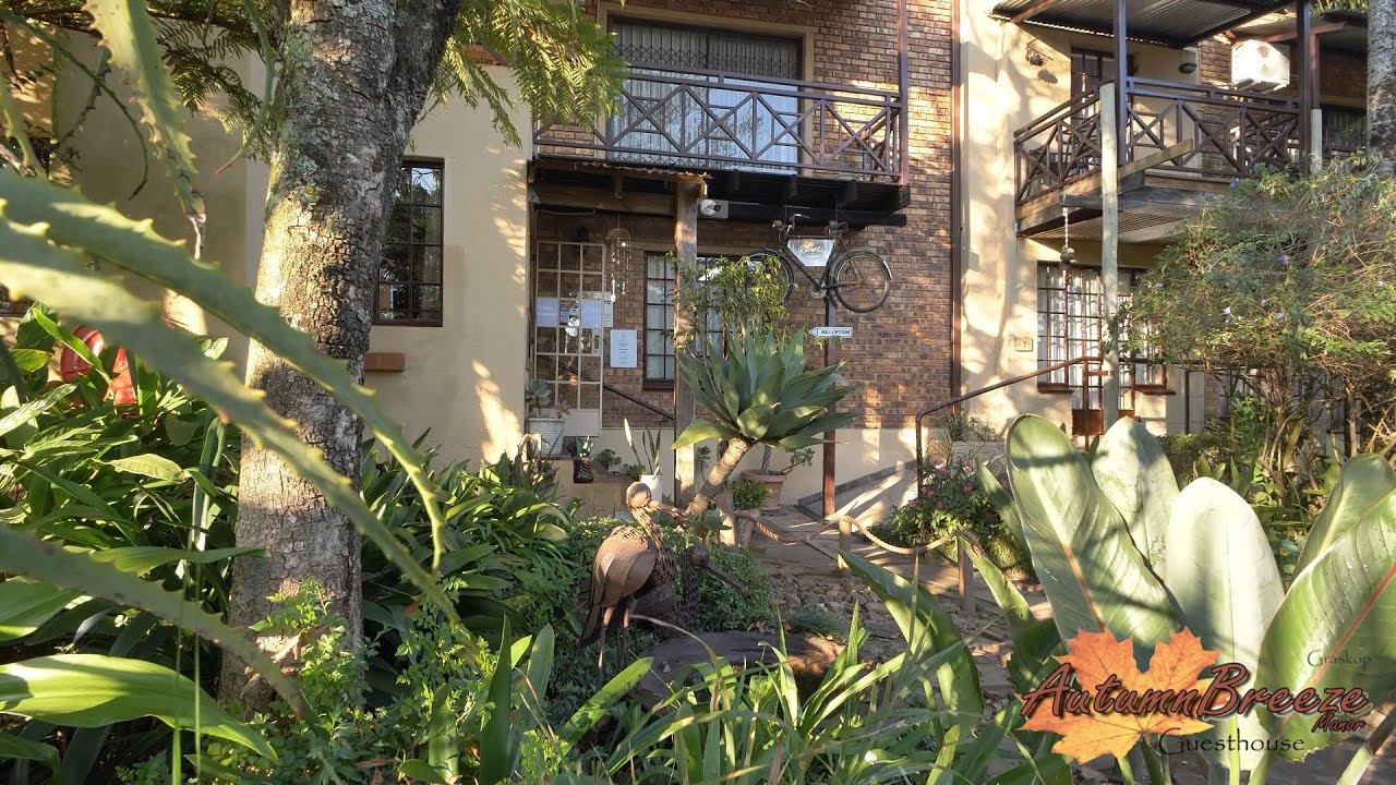
## Accommodation in Graskop
Graskop sits at about 1,450 metres on the Mpumalanga escarpment and draws most of its visitors as an overnight base for the Panorama Route and the surrounding canyon landscapes. Currently no properties are listed through this platform and pricing data is unavailable, but the town's accommodation sector covers a practical spread of options across different budgets.
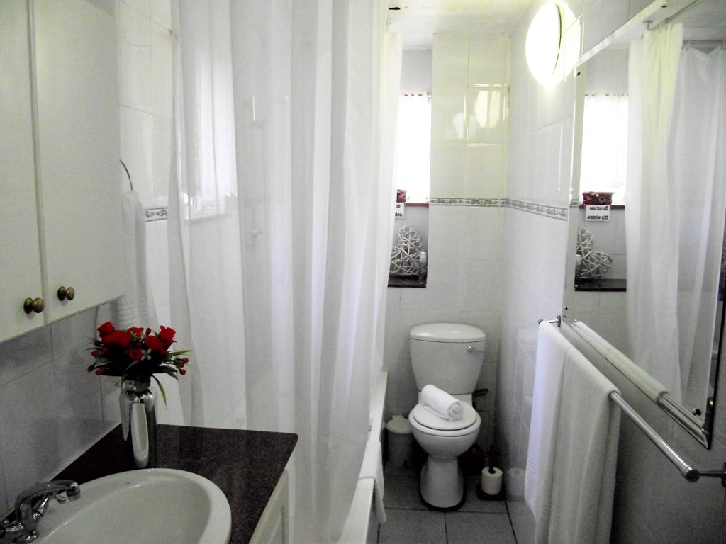
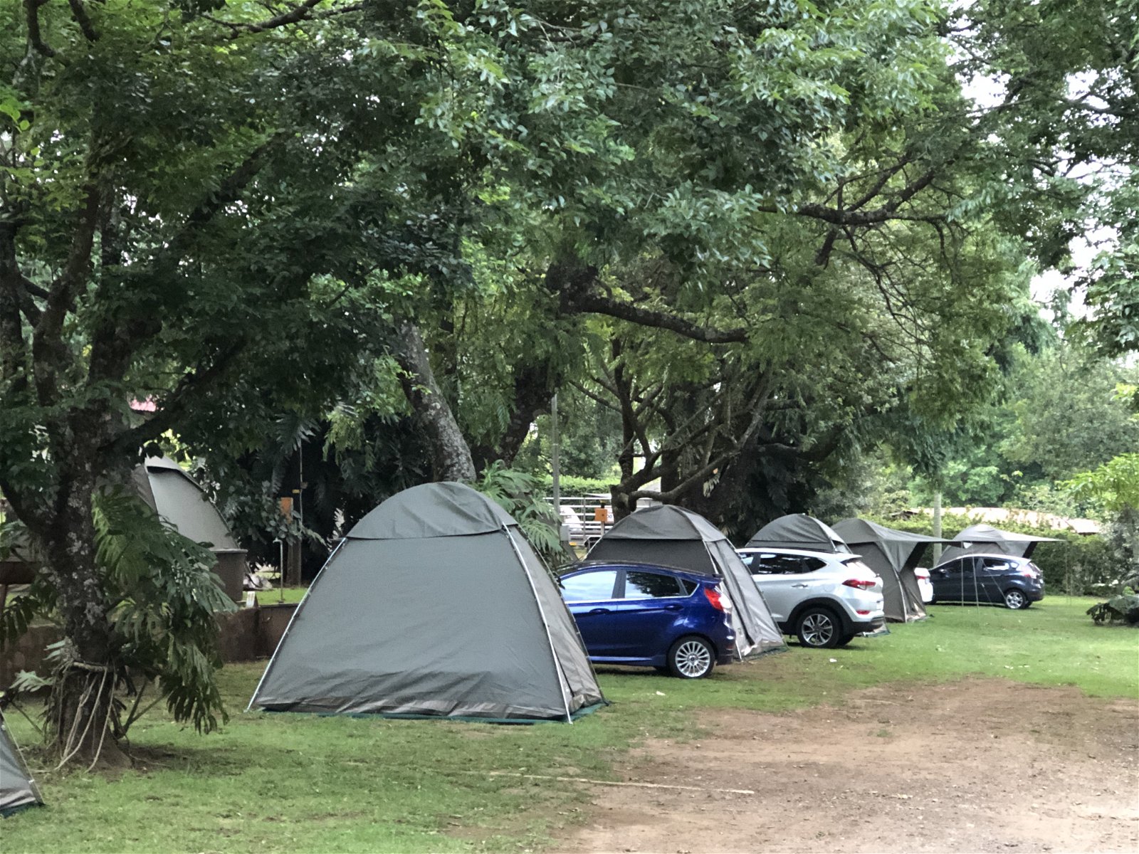
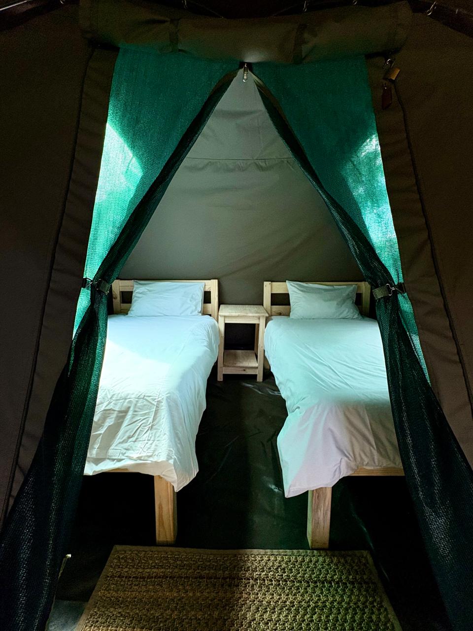
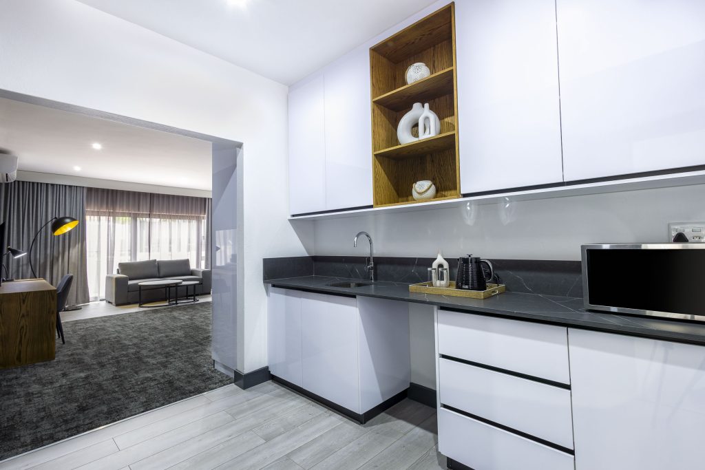
At the budget end, self-catering cottages and simple guesthouses make up a solid share of the options. These properties are generally found along the town's quieter streets and cater to travellers who need a functional base rather than amenities. Kitchens are the main draw for self-caterers, allowing flexibility with meals given that Graskop's restaurant options are limited in number.
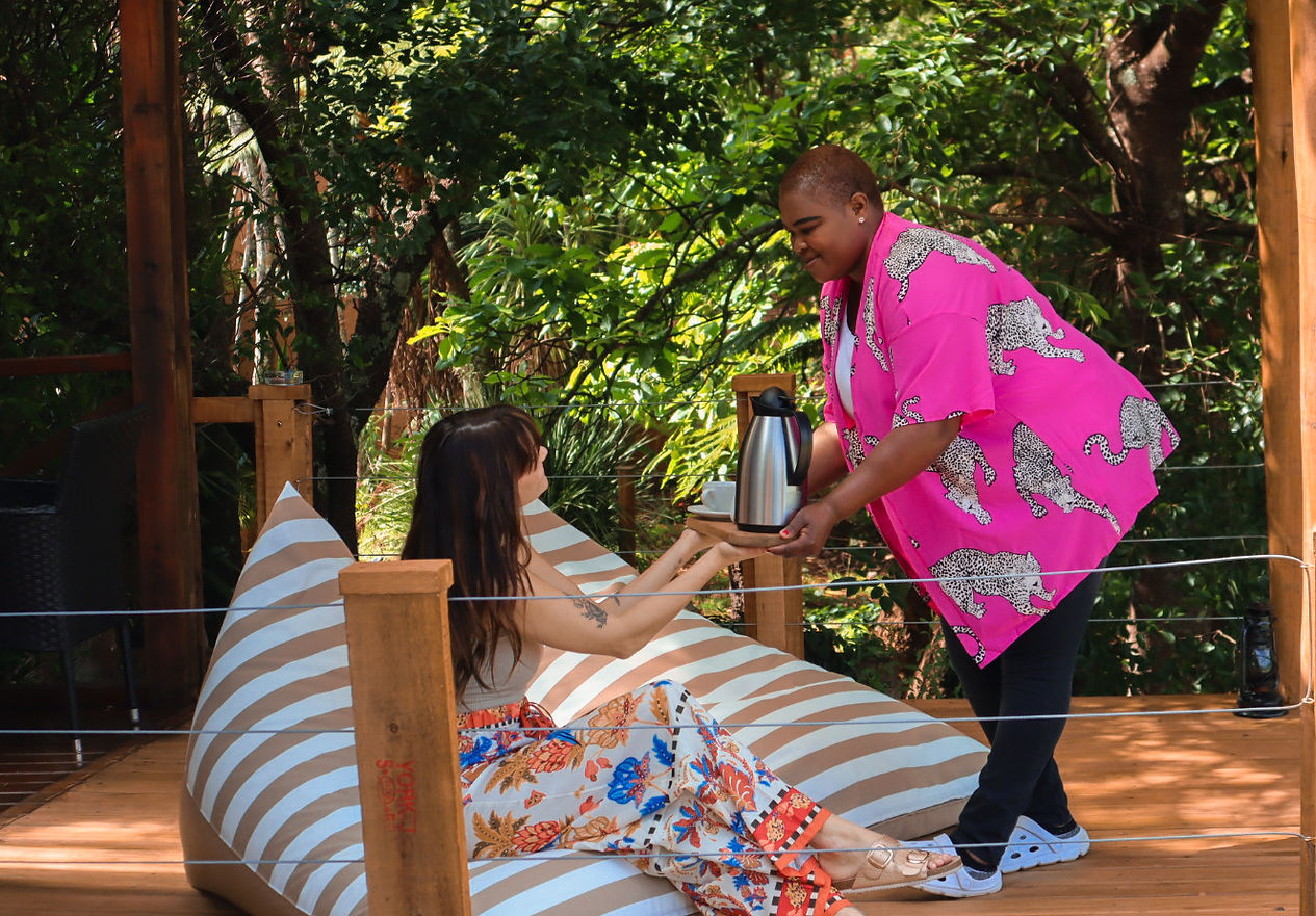
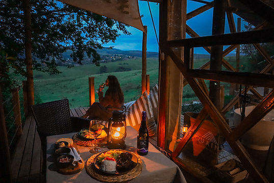
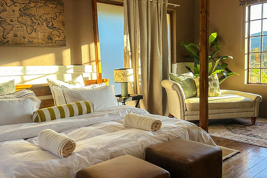
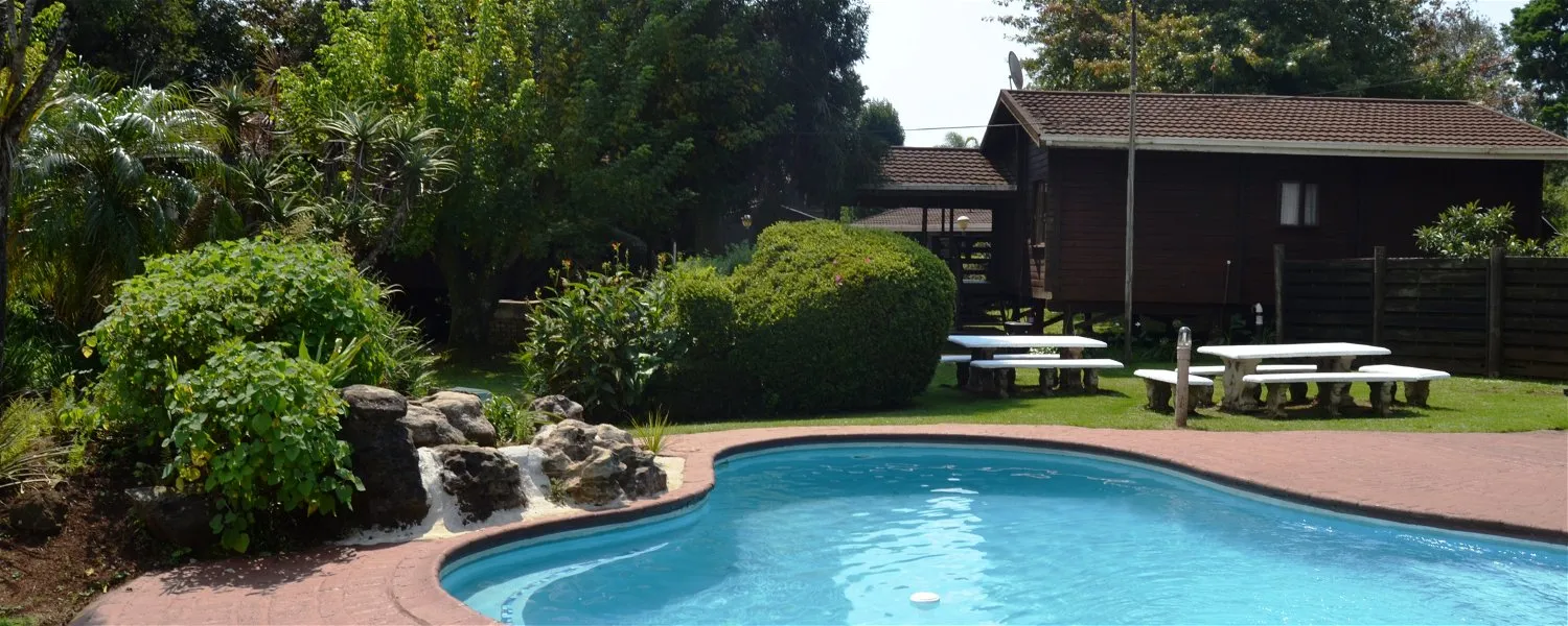
Mid-range accommodation is the most represented tier, with lodges and bed-and-breakfast properties offering more comfortable rooms, braai facilities, and in some cases views towards God's Window and the escarpment edge. Cooked breakfasts at these properties are worth factoring into your decision when comparing options, as the town has few alternatives for a proper morning meal before heading out on day routes.
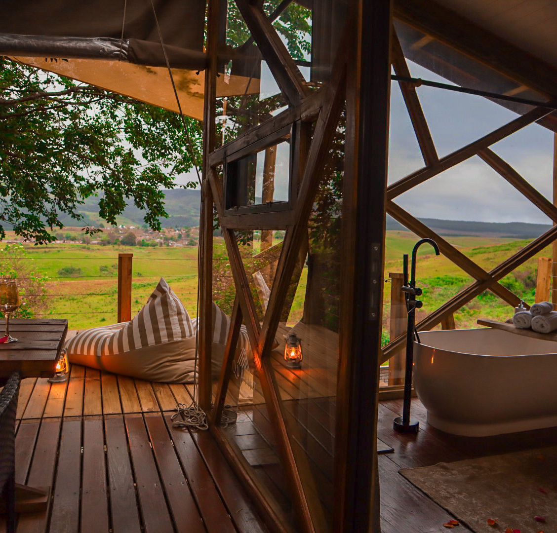
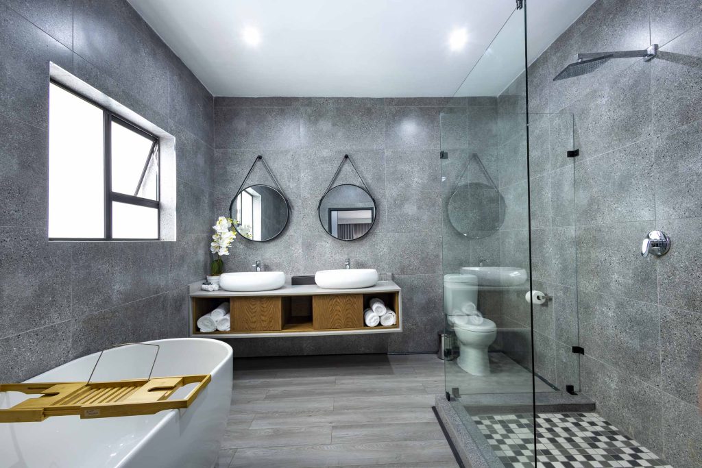
At the upper end of the market, a small number of boutique lodges and escarpment retreats offer private settings, more deliberate design, and in some cases guided packages. These are fewer in number than at larger tourism towns along the route, reflecting Graskop's modest footprint, but they serve visitors who want a more considered stay without needing resort-scale infrastructure.
Booking platforms and direct contact with properties both work well. Comparing the two sometimes surfaces better rates or availability, particularly for shorter stays, and owners of smaller guesthouses are often responsive to direct enquiries.
---
## Best Time to Visit Graskop
Graskop follows a clear seasonal pattern that shapes conditions for outdoor activity throughout the year.
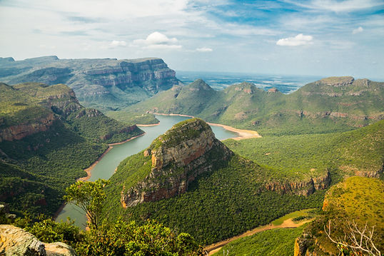
The summer months, October through March, bring warmth and regular afternoon rain. The Blyde River Canyon fills with mist during this period, which can obscure geological formations including the Three Rondavels for significant parts of the day. Trails through the indigenous forest are lush, and proteas bloom across the higher slopes, drawing botanists and birdwatchers in particular. Afternoon storms develop quickly at this altitude, and being caught on an escarpment viewpoint road in a downpour is common enough to plan around.
Winter, May through August, offers the most consistently clear skies. Daytime temperatures in Graskop are mild, typically between 10°C and 20°C, but nights can approach freezing. Views from high points across the Lowveld are at their best in the dry season, when morning clarity is the norm. This period is peak tourist season and accommodation books up faster.
The shoulder months of April and September strike a balance between decent weather and lower visitor numbers. For most travellers without fixed dates, these months offer straightforward conditions for outdoor activity and easier availability across the accommodation sector.
---
## Getting to Graskop
Graskop is roughly 350 kilometres east of Johannesburg, reached via the N12 or N4 highway east, with the final approach climbing through the Mpumalanga escarpment on the R532. The drive from Johannesburg takes approximately four hours under normal conditions. Road quality throughout is reliable, though the mountain passes require care in wet weather.
Bourke's Luck Potholes, one of the main stops on the Panorama Route, lies along the R532 north of Graskop, making the drive itself part of the itinerary for many visitors arriving from the south or west.
The nearest commercial airport is Kruger Mpumalanga International Airport, outside Mbombela (Nelspruit), about 90 kilometres to the south. Domestic flights from Johannesburg O.R. Tambo and Cape Town serve this airport regularly, and the drive from arrival to Graskop takes around 90 minutes. Car hire is available at the airport, and most visitors opt to self-drive given the dispersed nature of sights in the area.
There is no scheduled public transport directly to Graskop. Shared taxis connect larger escarpment towns to Mbombela, but these do not serve the town reliably for visitor purposes. Transfers from Mbombela can be arranged through accommodation providers, though the spread of canyon and escarpment sights makes hiring a car the more practical option for anyone planning more than a single-night stay.
---
## Graskop and Surrounding Areas
**Sabie** (20 km south) is the nearest town of similar size and serves as the closest commercial hub for Graskop visitors. It has a stronger restaurant scene and better supermarket options, useful for resupply or an evening meal. Sabie sits at the centre of one of South Africa's larger commercial forestry regions, and the marked hiking trails around the town pass through both plantation areas and pockets of indigenous riverine forest. Sabie Falls, Horseshoe Falls, and Bridal Veil Falls are all within a short distance of the town centre.
**Hazyview** (31 km east, at the base of the escarpment) operates as the main gateway to two of Kruger National Park's western entrances, Phabeni and Numbi. At a lower altitude, it is warmer and more humid than Graskop. The town has more commercial infrastructure, including a large retail complex, and is a common stop for visitors combining a Panorama Route itinerary with a Kruger game drive. Day trips from Graskop to Hazyview are straightforward on well-maintained roads.
**New Forest** (35 km) is a small farming and forestry community rather than a destination in its own right. It connects the escarpment to the N4 corridor via back roads and is mainly encountered by visitors exploring the quieter routes between the highland towns.
**Lydenburg** (43 km west on the R37) is one of the older established towns in the region, with origins in Boer settlement and gold-rush activity. The Lydenburg Museum houses replicas of the Lydenburg Heads, iron-age ceremonial masks considered among the most significant archaeological finds from this part of the country. The town functions as a regional service centre and a natural entry point for visitors arriving from the Highveld.
**Wisane** (45 km) lies on the transitional terrain between the escarpment and the Bushveld, within a working agricultural and forestry corridor. It offers little in the way of dedicated visitor facilities but appears on routes between Graskop and the lowveld towns.
**Acornhoek** (46 km east) is a commercial and administrative centre serving communities between the escarpment and the eastern Kruger boundary. It sits close to the Orpen Gate of Kruger National Park, making it a viable staging point for visitors entering the park from this direction rather than via the more trafficked western gates.
---
## Planning Your Stay
Graskop is a small town and accommodation fills quickly during peak periods. June and July school holidays, public long weekends, and Easter are the most congested windows, with popular properties booked weeks in advance. For dates outside these periods, a week's notice is generally sufficient in the budget and mid-range tiers, but confirming earlier is sensible.
When comparing properties, it is worth checking proximity to the town centre if you plan to eat out or shop in the evening without a vehicle. Graskop's few restaurants and the main shops are concentrated in a small area, and properties further out require transport after dark.
Lisbon Falls and Berlin Falls, both within a short drive, are most rewarding after sustained rainfall when the rivers are running well. If these are a priority, checking recent weather before finalising your visit window is practical.
Cell coverage within Graskop is generally reliable, but drops on some canyon and forest roads. Downloading offline maps before leaving accommodation saves frustration. Petrol stations in Graskop are available but limited, and filling up before long day routes is sensible rather than relying on smaller stops along the way. Confirm whether your accommodation includes breakfast, as this affects how early you can leave for morning light at viewpoints.