## Accommodation in Matatiele
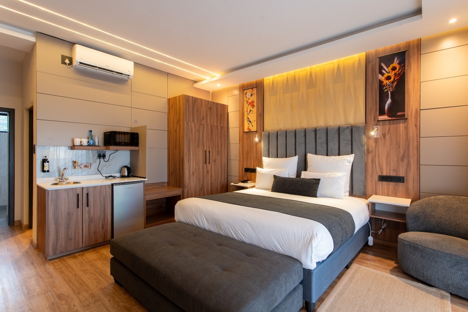
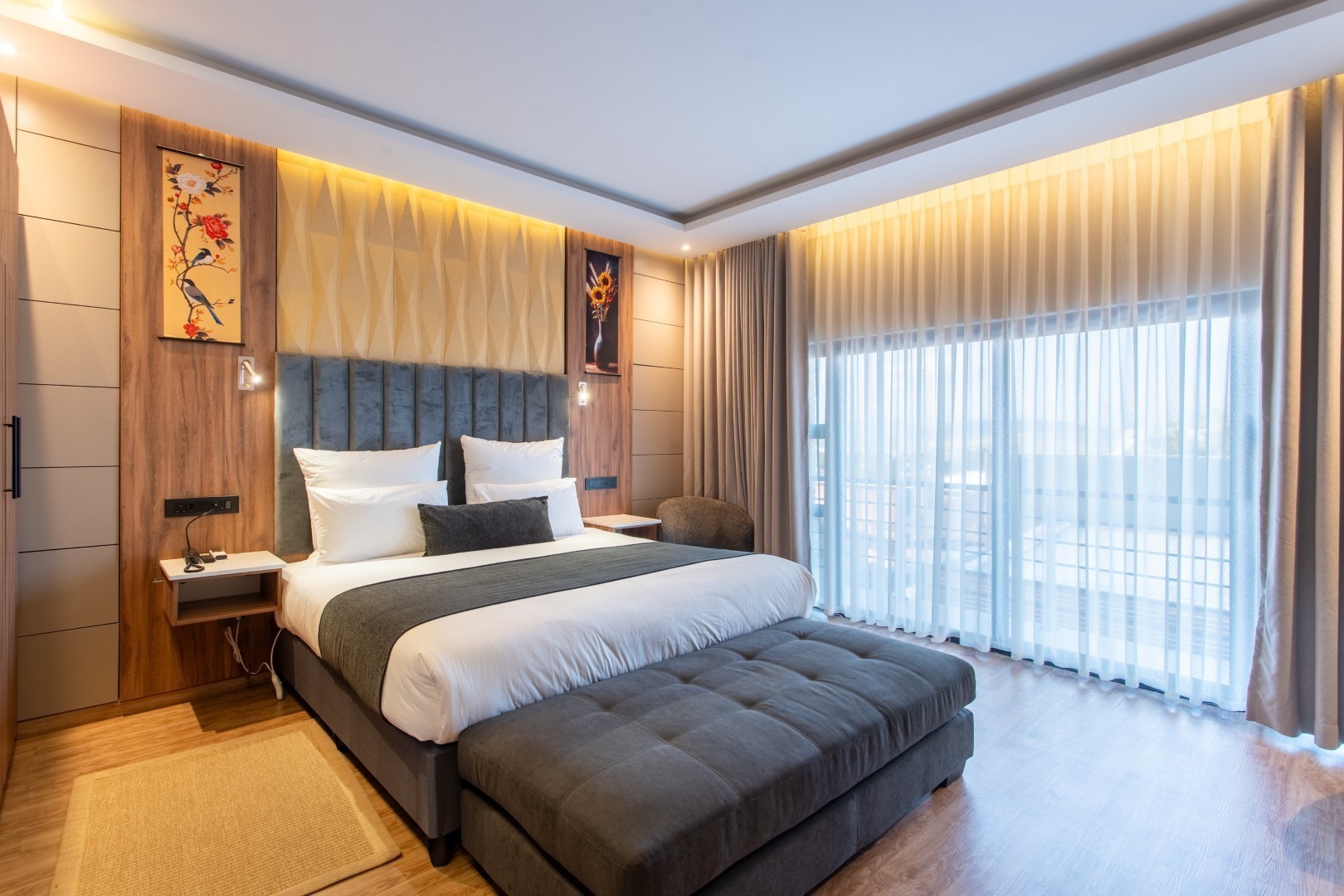
Matatiele currently has one property listed, a guesthouse, and pricing is not published online. To confirm rates, availability, and any specific requirements, travellers need to contact the host directly. With only this single option in the listings database, the town is not a destination where you can scroll through alternatives or adjust plans at short notice. The reservation should be treated as a fixed point in any itinerary, not something to sort out on arrival.
Guesthouses in this part of the Eastern Cape are typically converted residential homes with a small number of rooms sharing common areas. The experience tends to be personal: hosts know their guests, breakfast is served at a set time rather than from a buffet, and dinner can often be arranged in advance, which is worth asking about given that independent restaurants in small rural towns are not always reliable. Owner-run properties also provide something booking platforms cannot supply: current, practical knowledge of local conditions, from the state of gravel roads into the surrounding mountains to which trails are accessible in a given season. That local expertise is often the most useful thing a host offers.
For budget-conscious travellers with camping equipment, the broader region has possibilities beyond the current listings. Private farms in the Eastern Cape and reserves on the fringes of the Drakensberg accept campers, though none appear in the database and these require direct inquiry with operators before the trip.
Demand for the single listed property rises sharply during South African school holidays, particularly the December break, when travel through the southern Drakensberg corridor peaks. Arriving without a confirmed booking leaves no alternative in town. Anyone planning to base themselves in Matatiele for more than one night should confirm the reservation early and request written or message confirmation from the host.
## Best Time to Visit Matatiele
Matatiele sits at altitude in the Eastern Cape near the Lesotho border. The elevation produces a cooler, more variable climate than the South African coast, with cold winters and thunderstorm-prone summers.
Summer (October to March) is the wettest period. Afternoon storms can be severe enough to make gravel roads impassable or flood river crossings, and travellers heading to remote reserves or mountain trails should plan with some flexibility. Against these inconveniences, summer brings the highland grasslands into full green, wildflowers across the foothills, and active birdlife including migratory species moving through on the Drakensberg flyway.
Winter (June to August) is dry and clear. Walking days can be comfortable, but temperatures fall sharply after dark and overnight frost is routine. Snow reaches the higher peaks and occasionally the town itself. Roads are more reliable in winter, making it the preferred season for travellers with standard vehicles who want to explore beyond the tarred routes.
Spring (September to October) and autumn (April to May) are shoulder seasons with moderate temperatures and fewer visitors than the December peak. Both periods offer stable conditions and suit most travel styles, particularly those combining outdoor activity with straightforward logistics.
## Getting to Matatiele
Durban is the most practical gateway, around 300 kilometres to the east via the N2 and R56. The drive takes approximately four hours under normal conditions. From Johannesburg, the journey is longer, typically six to seven hours via the N3 through the KwaZulu-Natal midlands, with mountain passes adding time to the final section.
King Shaka International Airport outside Durban is the nearest commercial airport with regular scheduled flights. There is no direct public transport connection between Durban and Matatiele, so a rental car from the airport is the standard approach for visitors flying in. Attempting the journey by bus and taxi requires multiple changes and is considerably slower.
Within the town, the central area is compact enough to cover on foot. Any exploration beyond the immediate streets requires a vehicle. The main roads between Matatiele and neighbouring towns are tarred, but connecting routes into the surrounding hills are largely gravel and can deteriorate after heavy rain. A standard car handles the principal routes adequately, though higher clearance is an advantage on mountain tracks farther into the foothills.
Minibus taxis connect Matatiele to regional towns on informal schedules, primarily serving local commuters. They are not a reliable option for visitors carrying equipment or working to fixed timetables.
## Matatiele and Surrounding Areas
Kokstad, 62 kilometres to the southeast, is the nearest town with a full range of commercial services. It functions as a regional hub for the KwaZulu-Natal and Eastern Cape border area, with banking, medical facilities, fuel stations, and supermarkets more developed than those in Matatiele. The town is primarily a service centre rather than a tourist destination, but the surrounding farmland and the Ingeli Forest to its north offer good birdwatching and short nature walks. The drive between the two towns follows tarred road through open pastoral country and takes under an hour.
Underberg, 90 kilometres to the north, sits at the foot of the southern Drakensberg escarpment and is the established gateway to uKhahlamba-Drakensberg Park, a UNESCO World Heritage Site known for San rock art, high-altitude wetlands, and serious hiking trails. Visitors use Underberg as the access point for trailheads that lead up into the mountains. A day trip from Matatiele is feasible, though mountain roads add time to the drive and should factor into plans.
Maclear, officially renamed Nqanqarhu, lies 92 kilometres to the southwest on the Eastern Cape side of the mountains. The town has a following among fly-fishers who come for trout in the Mooi River and surrounding streams. It receives fewer visitors than the KwaZulu-Natal Drakensberg destinations, which means quieter roads and easier accommodation. The route from Matatiele crosses mountain terrain with long views across the escarpment.
Himeville, 95 kilometres north, is the departure point for Sani Pass, the steep gravel road that climbs from South Africa into Lesotho. The pass is one of the most dramatic mountain crossings in the country, and the steepest sections require a 4x4 vehicle. Guided excursions run from the village for those without one. For travellers already in Matatiele, the route through Himeville to Sani Pass makes for a full and varied day's driving through exceptional mountain landscape.
## Planning Your Stay
With only one listed property in Matatiele, the most important planning step is booking as early as possible. There is no fallback option if the guesthouse is unavailable, and finding a room within the town on arrival is not realistic. The nearest alternatives require a meaningful drive.
Contact the property directly to confirm availability, particularly around South African school holidays in December, April, and July, when travel through this part of the country increases noticeably. Ask about meals upfront: many rural guesthouses provide dinner only if requested in advance, and understanding this before arrival avoids difficulty in a town with limited dining options. Confirm the check-in procedure too, since owner-run properties often expect guests to arrive within a specific window rather than at any hour.
Before finalising the booking, establish what the nightly rate includes, specifically whether breakfast is bundled or billed separately. If outdoor activities are central to your plans, confirm with the host that relevant access routes are open and suitable for your vehicle. Hosts in remote parts of the Eastern Cape are typically more reliable than any website for current information about trail access, local conditions, and recent changes to road surfaces.
If the single listed property is unavailable, reassess whether Matatiele remains the right base for your trip. The town is well-positioned for the eastern Drakensberg foothills and routes toward Lesotho, but its infrastructure for visiting travellers is limited, and a nearby regional centre may better serve itineraries with broader requirements.