## Accommodation in Swaardraai
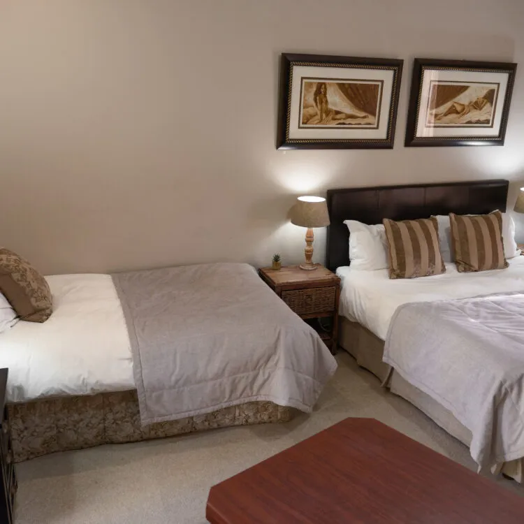
The accommodation options in Swaardraai are limited but appropriate for the setting. With just 3 properties listed, this is not a destination built for high visitor volumes, and that scarcity shapes the character of what's on offer. Rates are not publicly standardised across the listings, so prospective visitors will need to contact properties directly to confirm pricing.
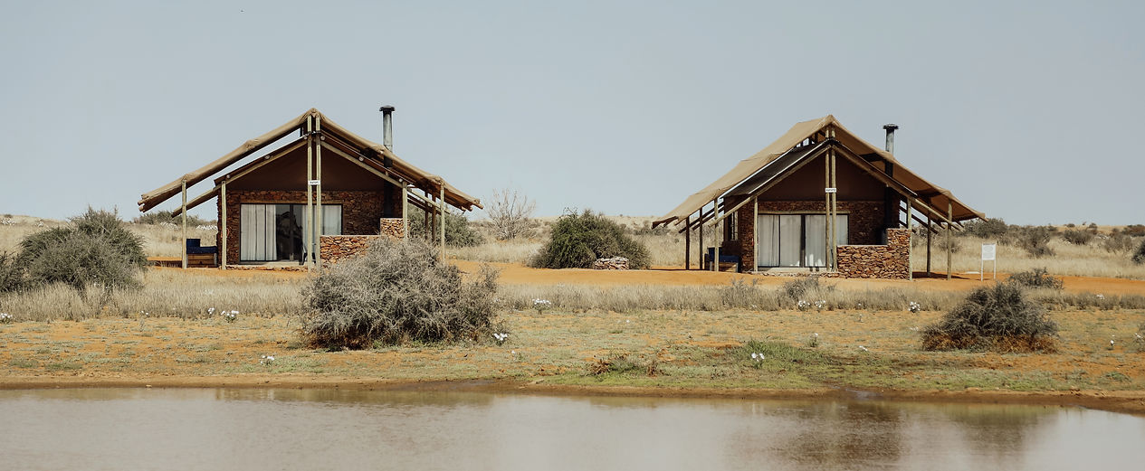
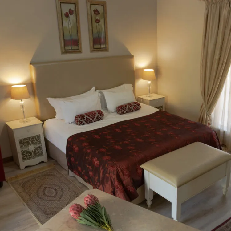
At the more independent end of the scale, self-catering properties form the majority of what's available. Two listings fall into this category, giving guests the flexibility to cook their own meals and move at their own pace. In a location this remote, that kind of self-sufficiency has real practical value. Shopping for supplies before arriving is essential, as the nearest towns with supermarkets require a significant drive. Self-catering accommodation in the area typically means a private cottage or farm unit on a working property, with a basic kitchen, outdoor space, and enough room for a small group or couple.
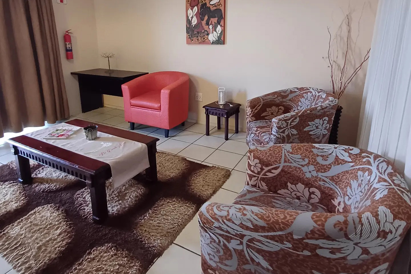
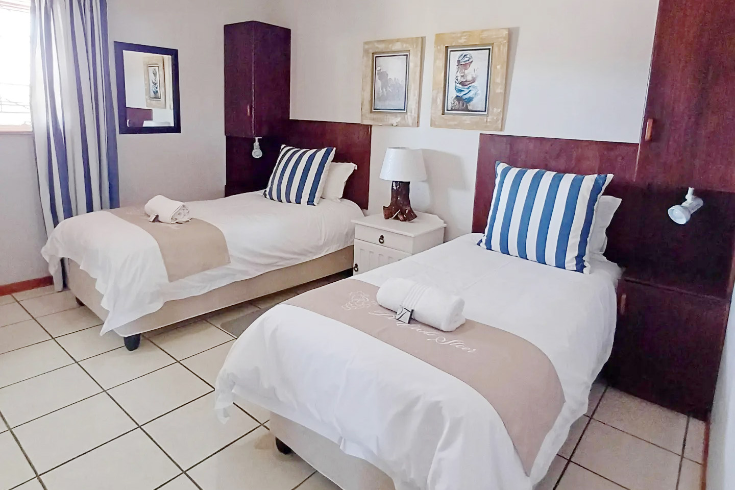
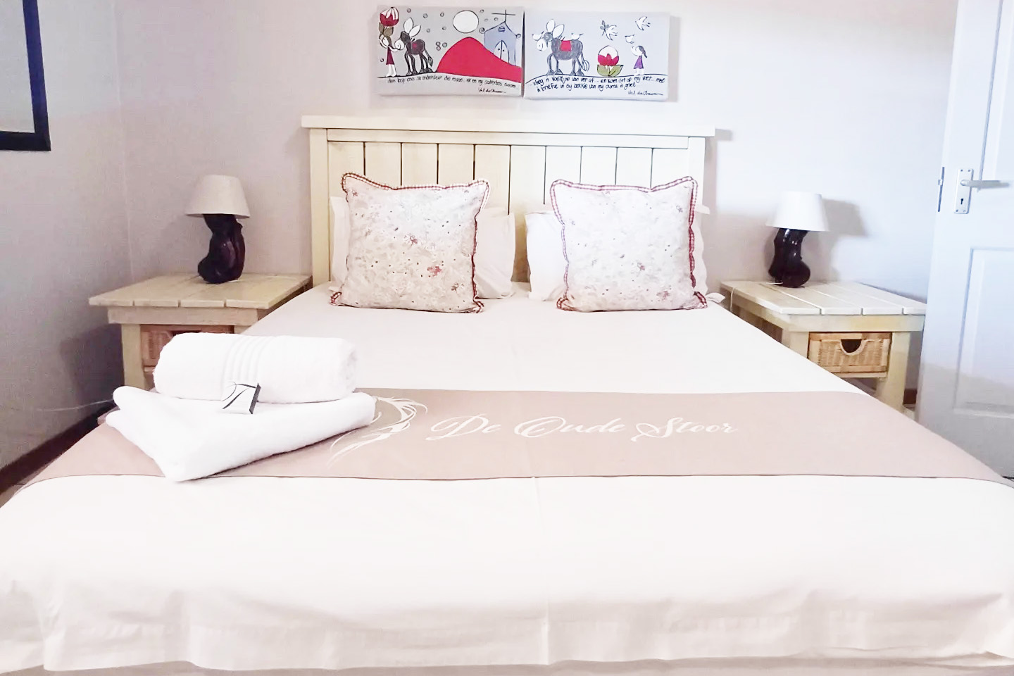
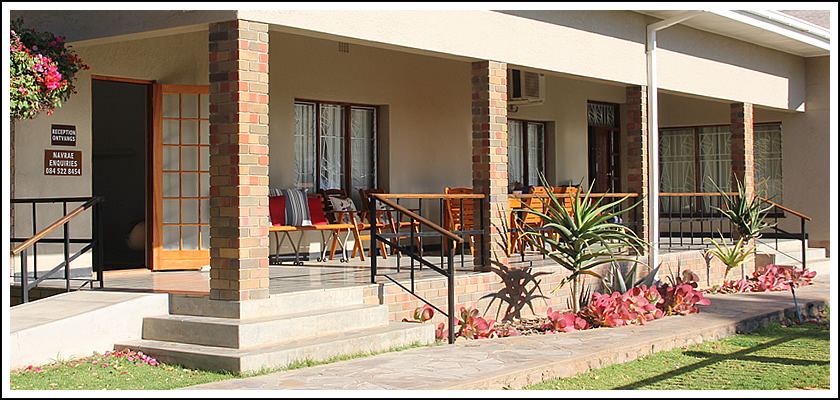
The single guesthouse represents the more hosted option. In farming regions like this, guesthouses are often run by the landowners themselves, with meals available on request and a direct line to local knowledge about the landscape, farming practices, and surrounding area. For visitors who want more engagement with their surroundings, this tends to make for a more personal stay than a self-contained unit allows.
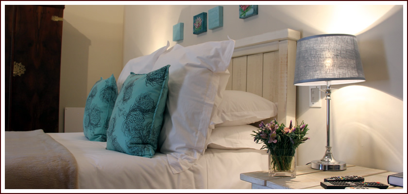
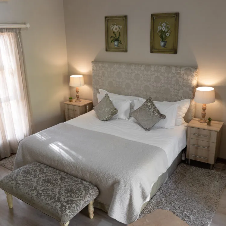
Whichever option you choose, expect clean and functional rather than polished. Air conditioning matters in summer when temperatures push well beyond 30 degrees, and heating is worth confirming if your visit falls between May and August when nights drop close to zero. Power supply and water source are both worth clarifying before you confirm a reservation. Some farm properties operate on solar or generator backup, and borehole water supply varies from property to property.
Booking ahead is advisable given the small number of options. Long weekends and school holidays bring families from the broader region looking for quiet countryside stays, and availability can tighten quickly.
---
## Best Time to Visit Swaardraai
Summer months from November through February bring intense heat to this semi-arid part of South Africa. Daytime temperatures regularly exceed 35 degrees Celsius, and some days push past 40. Outdoor activity during midday hours is uncomfortable at best, so visitors in summer should plan walks and drives for early morning or late afternoon. Rain, when it comes, arrives mainly in summer as brief, heavy thunderstorms that rarely last long but can make gravel roads temporarily slippery.
The cooler winter months from May through August offer more comfortable daytime conditions in the mid-20s, but temperatures drop sharply after dark, sometimes approaching zero overnight. Winter visitors should pack warm layers for evenings, especially if stargazing is part of the plan.
Spring, roughly September to October, tends to be the most balanced period. Temperatures are moderate, the days are long, and the occasional late-season flowering adds some colour to an otherwise muted landscape. Autumn from March to April also provides reasonable conditions before the cold settles in.
Low light pollution means the night sky is one of the genuine draws of the area throughout the year. Clear conditions are frequent, and any cloudless night is worth staying up for regardless of season.
---
## Getting to Swaardraai
Private transport is the only practical way to reach Swaardraai. No regular public transport routes serve the settlement, and the roads in the immediate area include gravel stretches that require a vehicle in reliable working order.
The closest regional airport sits approximately 80 kilometres to the north and operates scheduled flights from Johannesburg and Cape Town. The drive south from there to Swaardraai takes around an hour, depending on road conditions. Car hire is available at the airport and is the most straightforward option for visitors arriving by air.
For those driving from further afield, the Northern Cape road network connects through a series of provincial roads. Distances between fuel stops can be considerable across this sparsely populated region, so filling up whenever the opportunity presents itself is sensible. Carrying a spare tyre is strongly advised when any gravel roads are involved.
GPS coverage is generally adequate throughout the area, but downloading offline maps before departure is a wise precaution. Mobile data connectivity weakens between towns and should not be relied upon for navigation once you leave the main routes. Travelling with adequate water and a basic emergency kit is standard practice for this part of South Africa.
---
## Swaardraai and Surrounding Areas
The settlements and landscapes within a manageable drive of Swaardraai range from small farming towns to one of South Africa's most significant natural features.
**Augrabies**, 12 kilometres away, is where the Orange River drops through a granite gorge in the Augrabies Falls National Park. The main falls are among the largest in Africa by volume during flood season, and the surrounding park supports giraffe, klipspringers, and various raptors. Day hikes and game drives are available through SANParks, and the park makes for a straightforward excursion from a Swaardraai base.
**Kakamas**, 20 kilometres out, is a small river town with a working cooperative producing wine and dried fruit. It functions as a practical supply stop and has a couple of restaurants. The town's early irrigation canals, constructed in the early 1900s, are a minor but interesting piece of regional agricultural history for those with an interest in how this dry landscape was made productive.
**Brakboschkolk**, 30 kilometres away, is a small farming settlement rather than a tourist destination. The drive there gives a clear impression of the wider Gordonia landscape: flat, open country with sparse thorn scrub and occasional farmsteads spread across the horizon.
**Keimoes**, at 49 kilometres, produces dates and table grapes on farms along the Orange River. Tierberg Nature Reserve near the town offers short walking trails with views over the valley, and some farms in the area welcome visitors during harvest seasons.
**Neilersdrift**, 52 kilometres distant, sits close to the river and is associated with border crossings and intensive river farming. It is not set up for tourism, but it marks the southern extent of the area's accessible geography.
**Upington**, 80 kilometres to the north, is the main service centre for the entire region. Supermarkets, fuel, medical facilities, and accommodation at multiple price points are all available here. The town's main street is lined with date palms, and the Kalahari-Orange Museum provides solid background on the area's history and ecology.
---
## Planning Your Stay
South African school holidays fall in December/January, April, July, and September/October. During these periods, rural accommodation in the region fills earlier than usual, particularly at small properties with limited capacity. Booking four to six weeks in advance is a reasonable buffer for holiday windows. Outside these periods, shorter lead times generally work, but direct contact with properties remains the most reliable approach, as smaller operations do not always maintain current online availability calendars.
Before confirming any booking, check whether bedding and towels are provided. Some self-catering units in remote areas operate on a bring-your-own basis, and arriving without essential items in a location this far from shops is an avoidable problem. Ask whether the kitchen comes stocked with cooking basics or whether you need to bring consumables from scratch. Confirm whether backup power is available for load-shedding, which affects rural properties as much as urban ones, and establish the water supply source.
Mobile signal is limited between towns in this area. Download offline maps, confirm all property details by phone or email before you depart, and resolve any outstanding questions while you still have reliable connectivity. Arriving with all the information you need already in hand makes the experience considerably smoother than trying to troubleshoot once you're on site.