## Accommodation in Assegaairivier
Currently no properties are formally listed in Assegaairivier through mainstream booking platforms, and pricing data is unavailable as a result. This reflects the character of a settlement that functions as a farming community first, with accommodation treated as a secondary offering. Options do exist in the broader area, but they tend to be arranged directly with farm owners rather than through online channels, and availability shifts seasonally based on whether owners are willing to host outside their busiest agricultural periods.
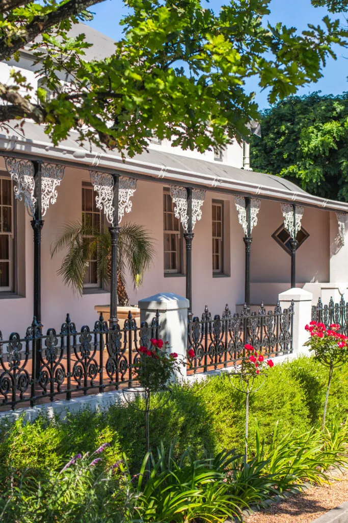
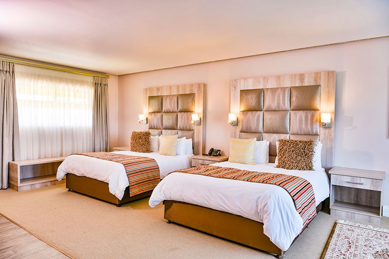
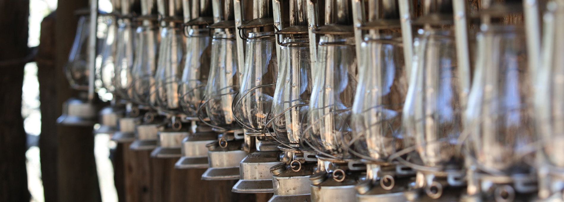
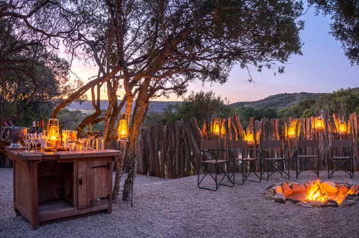
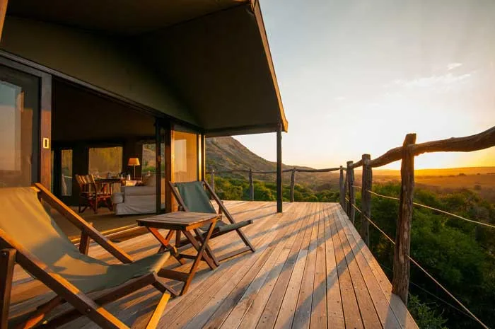
At the budget end, the typical offering is a self-catering cottage on a working farm, where guests supply their own provisions and are largely left to experience the landscape without facilitation. These range from a basic rondavel or converted farm outbuilding with minimal amenities to something more practical with solar power and a functional kitchen. The appeal is access to open land and quiet, not comfort for its own sake.
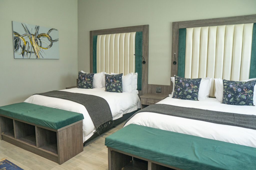
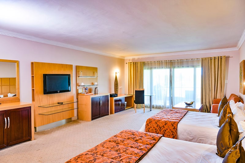
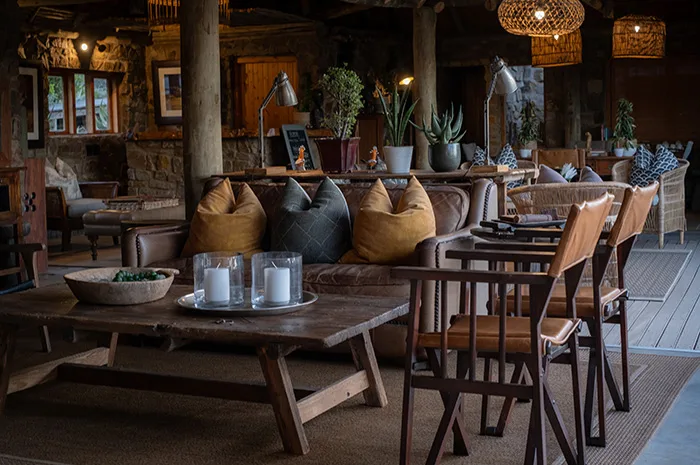
Mid-range stays generally include some degree of hosting, often breakfast and occasionally dinner, alongside access to guided activities: farm walks, morning birdwatching, or evening drives to elevated viewpoints. Accommodation at this level tends to occupy more deliberately maintained farmhouses with reliable power and water, and hosts who are knowledgeable about the surrounding ecology and landscape history.
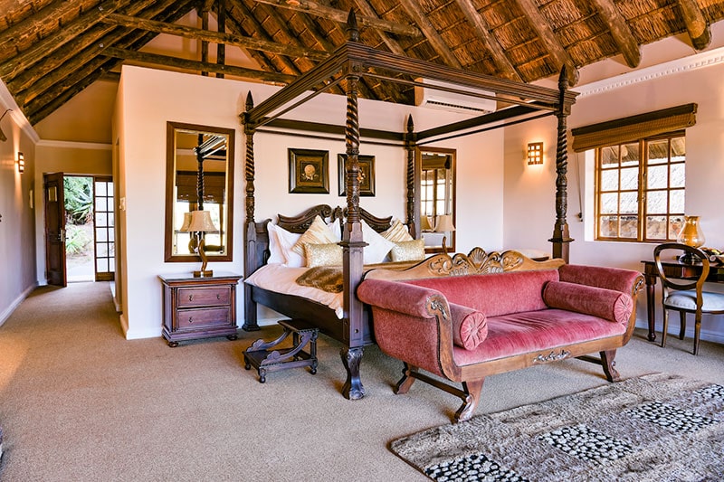
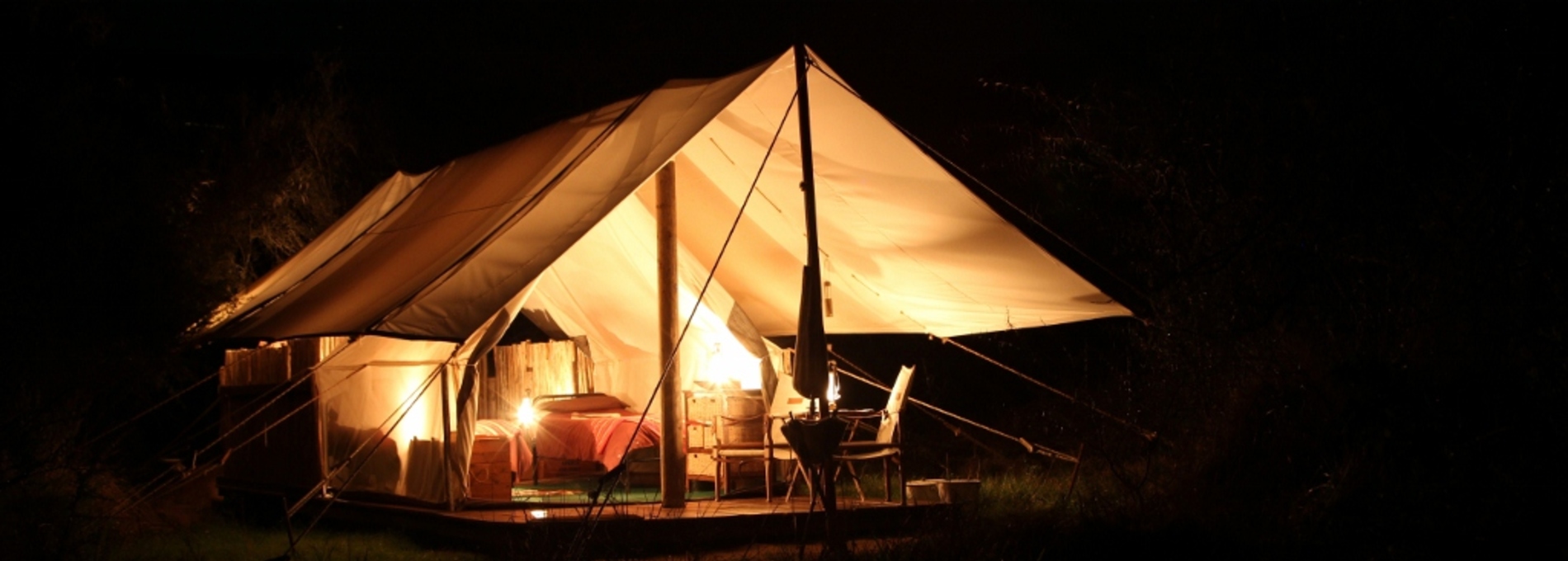
Upper-tier options in the region are rare. Where they exist, they typically offer full-board arrangements on private reserves or historically significant farm properties, with guest numbers kept intentionally small. Repeat visitors and word-of-mouth referrals tend to fill these beds well ahead of any peak period. Across all tiers, guests should expect intermittent or absent mobile connectivity, and many properties in this part of the Eastern Cape prefer direct contact over automated booking systems. Establishing communication before arrival, and confirming it, is worth doing well in advance.
---
## Best Time to Visit Assegaairivier
The Eastern Cape interior around Assegaairivier runs hot and dry. Summer, from November through February, brings temperatures that regularly exceed 35 degrees Celsius, making early morning and evening the practical windows for walking or driving the landscape. Midday sun during this period is intense, and the terrain offers very little shade.
Winter, from June through August, is cold, with overnight temperatures falling below freezing in exposed areas. Days are generally dry and clear, which produces the most reliable conditions for observing the night sky. The absence of humidity and cloud cover during winter nights gives exceptional visibility of the Milky Way and southern constellations, with no light pollution to compete.
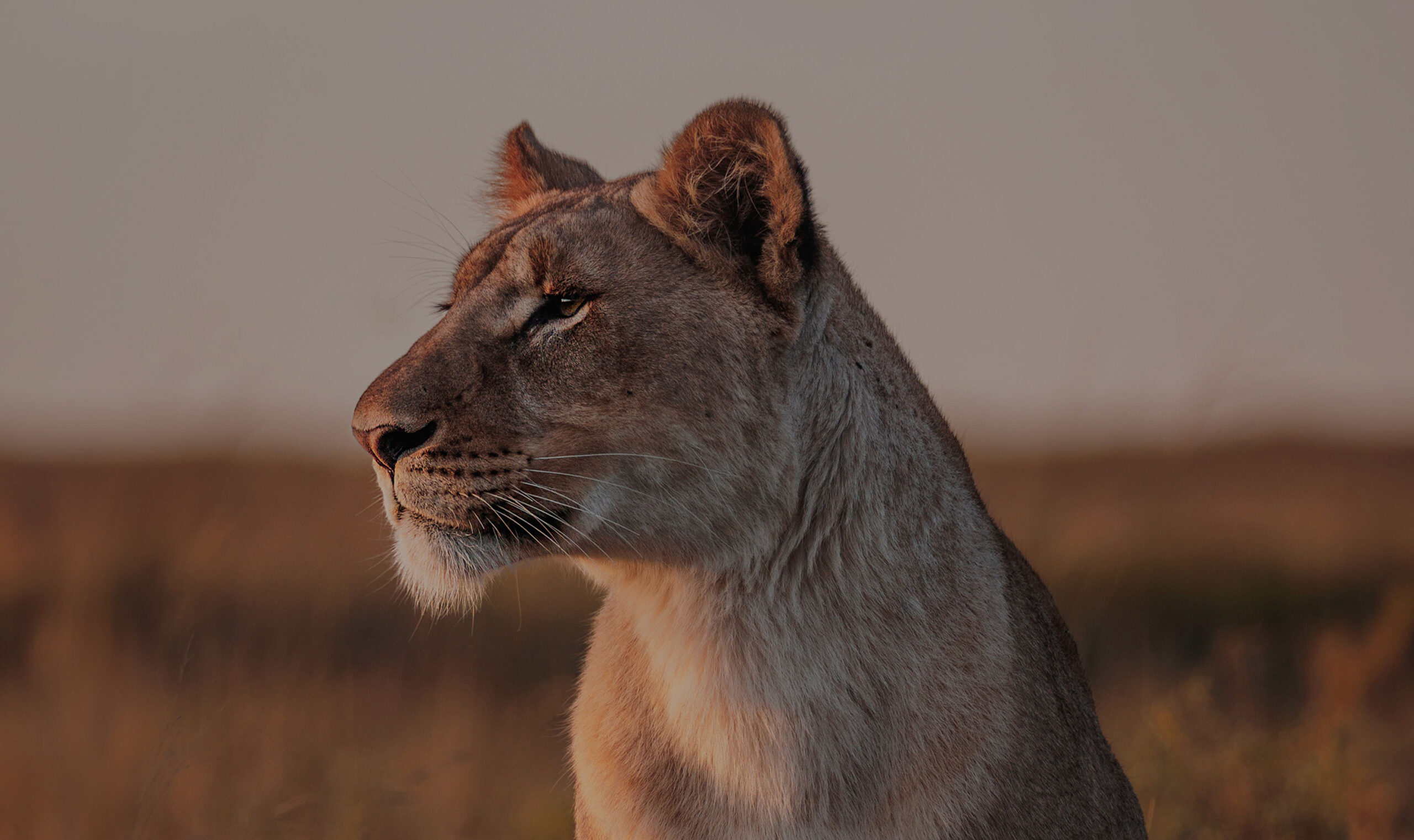
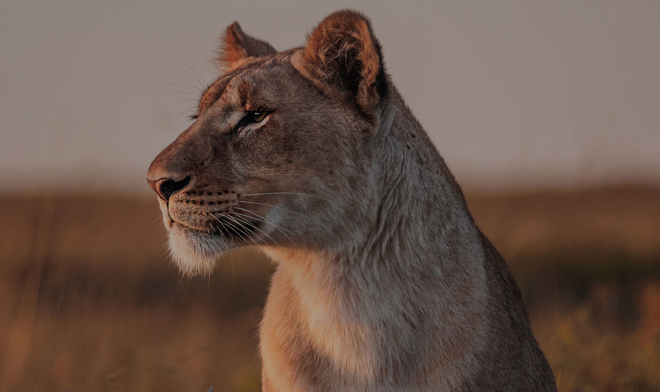
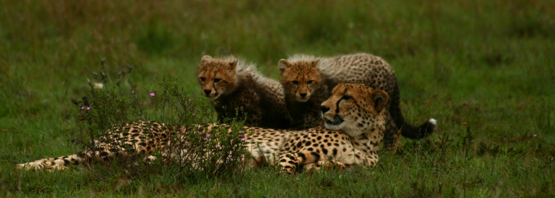
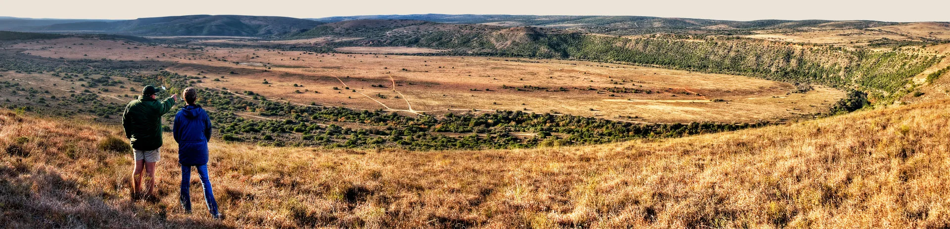
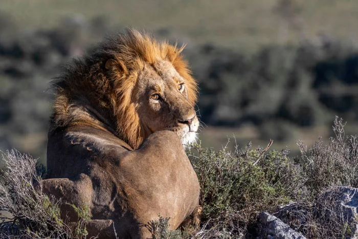
The shoulder months of March through May and September through October offer the most balanced conditions for general travel. Temperatures are moderate, the quality of light at dawn and dusk during autumn suits photography, and occasional spring rainfall can produce brief bursts of flowering vegetation in the veld. There is no defined tourist season in this part of the Eastern Cape, so accommodation is rarely under pressure at any time of year. Raptors and Karoo-endemic bird species tend to be more easily spotted in winter, when low vegetation and clear skies make them more conspicuous along ridgelines and open ground.
---
## Getting to Assegaairivier
Private vehicle is the only realistic means of reaching Assegaairivier. The nearest commercial airport with regular flights is in Gqeberha, formerly known as Port Elizabeth, approximately 170 kilometres to the south. Gqeberha receives services from Johannesburg, Cape Town, and Durban. East London Airport provides an alternative entry point at around 200 kilometres to the northeast.
From Gqeberha, the most direct route follows the N10 north before connecting via regional roads into the interior, with a total drive of roughly two hours under normal conditions. Makhanda, 23 kilometres from Assegaairivier, is the most convenient staging point for travellers arriving by long-distance coach. Intercape and Greyhound services operate through Makhanda, but there is no onward public transport into the surrounding rural area, meaning a hired vehicle from Makhanda is the only option for those without their own transport.
The final kilometres on the approach to the settlement may be unpaved, and a vehicle with reasonable ground clearance handles the surface more comfortably than a low-profile car, particularly after rain. Fuel tanks should be topped up in any substantial town before departing for the area, as there are no filling stations in the immediate vicinity. Downloaded offline maps are more dependable than live navigation throughout this part of the Eastern Cape, where signal coverage is unreliable and drops out entirely in low-lying sections of road.
---
## Assegaairivier and Surrounding Areas
Makhanda, also referred to by its former colonial name Grahamstown, sits 23 kilometres from Assegaairivier and serves as the primary urban reference point for the region. Rhodes University gives the city a student population and a cultural programme that exceeds what its size would suggest, most significantly the National Arts Festival held each July, which draws tens of thousands of visitors from across South Africa and internationally. Outside festival time, the Albany Museum complex covers natural history, African art, and the frontier conflicts that defined this part of the Eastern Cape interior. The 1820 Settlers Monument on a hill above the town provides both historical context and an elevated view across the surrounding farmland.
Fowlds, at 27 kilometres, is a small rural settlement that reflects the agricultural texture of the district rather than functioning as a destination in its own right. It is useful as a geographic reference for understanding how farm properties are distributed through the surrounding area, and for travellers navigating the back roads between Assegaairivier and the coast.
Riebeek-oos, 29 kilometres away, is a compact farming village with a Dutch Reformed church at its centre and limited tourist infrastructure. It has changed little over several decades and gives a genuine impression of how small Eastern Cape dorps operate away from the main highways.
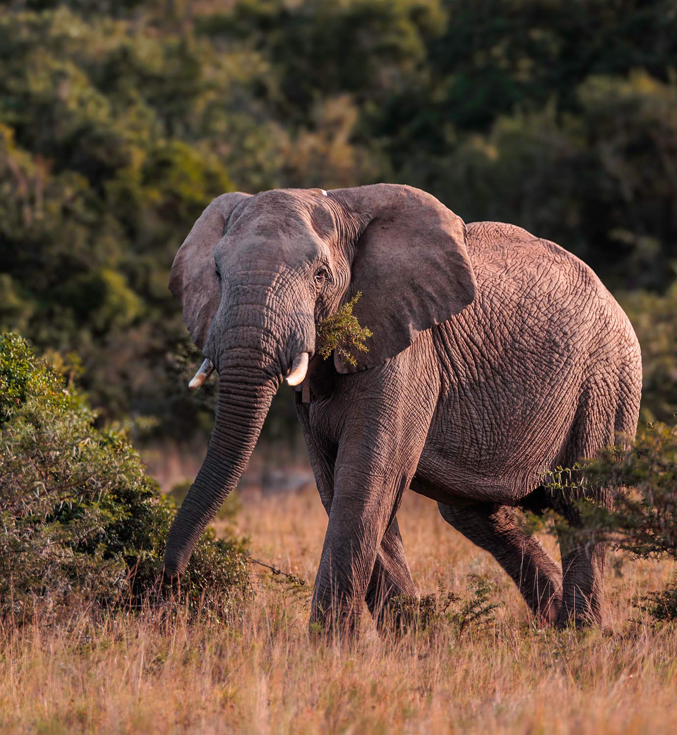
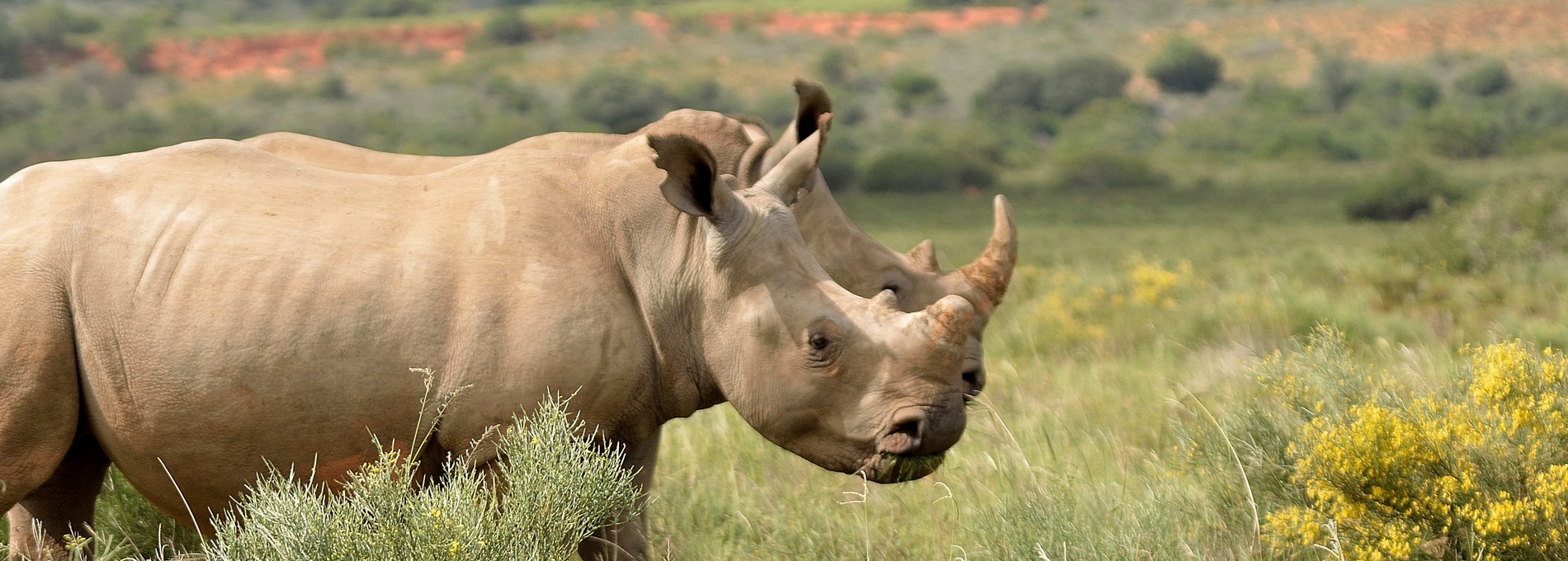
Paterson, 32 kilometres to the south, sits at the edge of the Sundays River Valley and is a practical waypoint for those considering a loop southward toward the Addo Elephant National Park corridor. The town is small, but its position makes it a logical stop on a wider road trip that combines inland Karoo landscape with the game-rich areas closer to the coast.
Bathurst, the furthest of the nearby options at 48 kilometres, has a character shaped by its 1820 British Settler origins and its association with pineapple farming. The oversized fibreglass Big Pineapple on the approach road is a firmly established landmark in the local imagination. The Pig and Whistle Inn at the village centre claims a history stretching back to the 1820s, making it one of the oldest continuously operating pubs in South Africa and a draw for visitors on that basis alone.
---
## Planning Your Stay
With no current listings on standard booking platforms, direct contact with farm owners is the most practical starting point. The Makana Tourism office in Makhanda maintains updated contacts for guesthouses and farm stays across the surrounding district, including properties that do not advertise online.
July deserves particular attention in planning. The National Arts Festival significantly increases demand for accommodation across a wide radius of Makhanda, and properties within comfortable driving distance of the city fill up weeks in advance. For any visit timed around the festival, booking early is not optional.
Before confirming any booking, ask specifically about the road condition on the final approach, which can deteriorate quickly after rain and may require different vehicle preparation. Check whether the property draws water from a borehole or a municipal connection, as supply can be inconsistent at some Karoo farms in late summer. Confirm the power situation, since solar or generator-dependent stays may limit electricity to certain hours and affect charging of devices or refrigeration of food.
There are no shops or restaurants in Assegaairivier, so arriving self-sufficient with food, water, and anything else needed for the duration of a stay is standard practice. For travellers with medical requirements, establishing the distance and driving time to a pharmacy in Makhanda before departure is straightforward preparation that could matter in an emergency.