## Accommodation in Venterstad
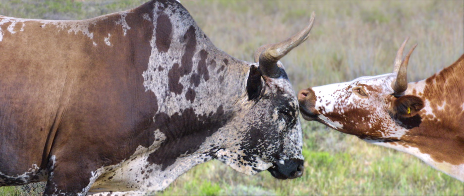
Venterstad was founded in 1875 and named after Commandant Hermanus Venter, reflecting its origins as a farming outpost during the late 19th century. The town has remained an agricultural community built around sheep farming and crop cultivation ever since, and its accommodation options reflect that identity. No properties in Venterstad are currently listed through this platform, with pricing data unavailable, so travellers should search local directories or contact providers directly before confirming a visit.
The types of accommodation available in and around the town span a modest range. At the budget end, self-catering units and small bed-and-breakfast establishments provide functional overnight stops. These cater to drivers breaking a long journey on the N9, offering a clean room and sometimes a cooked breakfast without resort-style facilities.
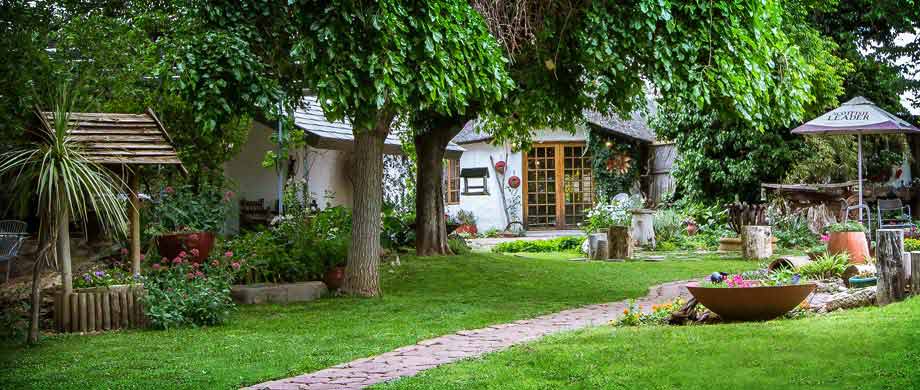
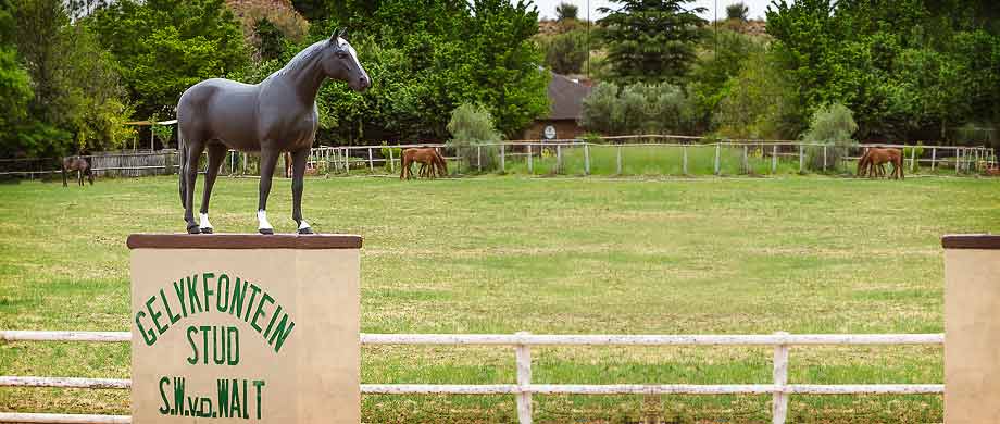
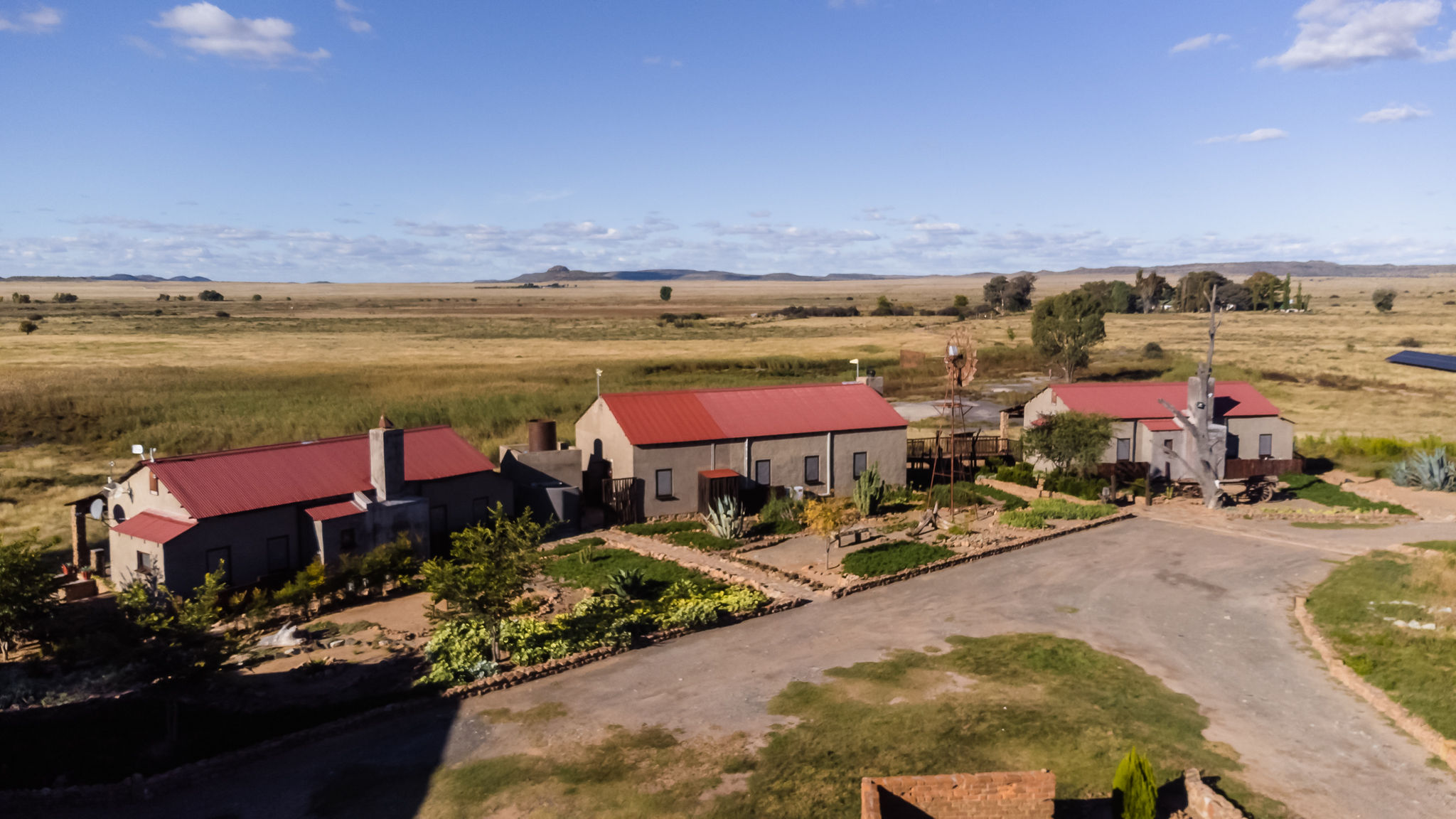
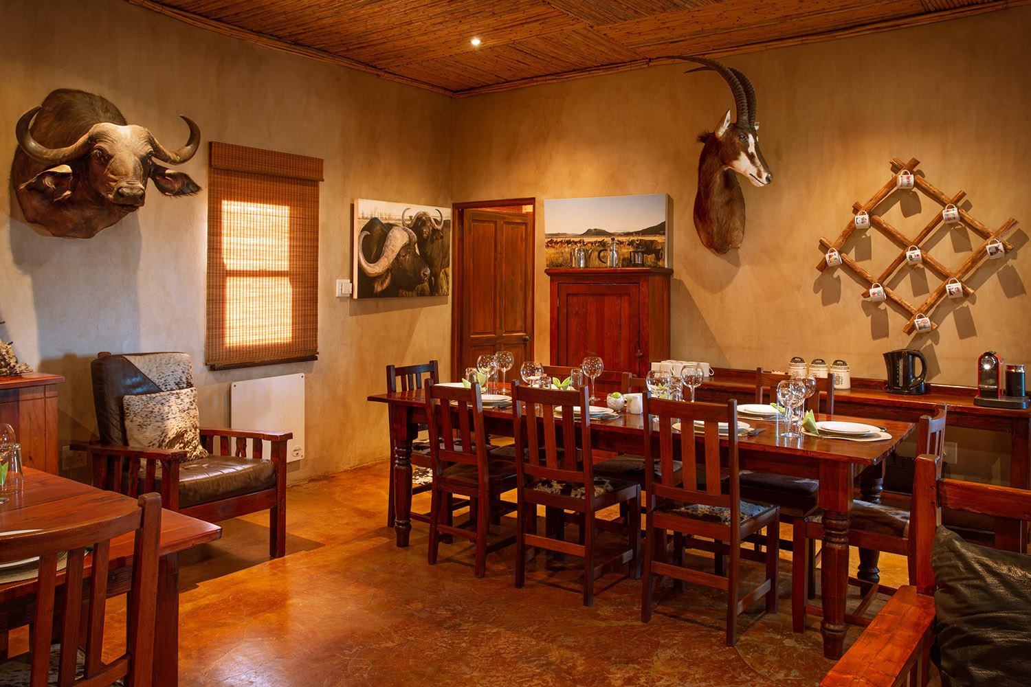
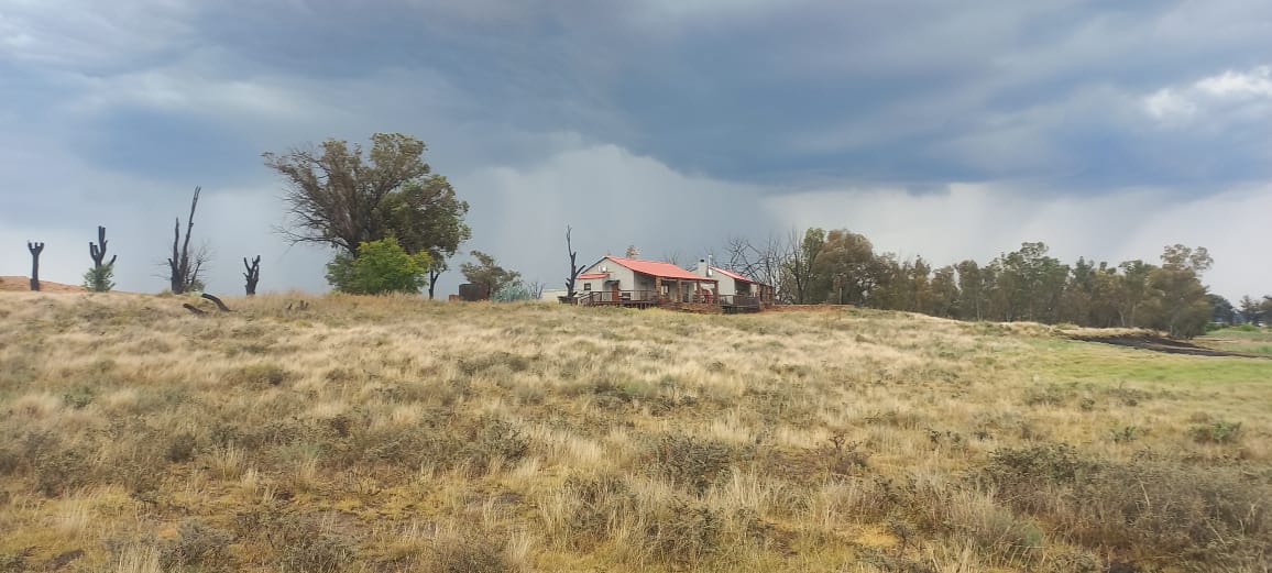
Mid-range accommodation tends to take the form of farm guesthouses and stay-on-farm arrangements. These typically offer more space, a quieter setting than roadside establishments, and often meals prepared using produce from the surrounding property. Staying on a working Karoo sheep farm gives a grounding in the rhythms of the land that a roadside guesthouse cannot replicate. The distances between properties, the silence at night, and the visibility of the horizon in every direction are part of what these stays offer.
At the upper end of what is locally available, some farms offer better-appointed accommodation, occasionally including guided walks or the opportunity to observe daily farm operations. The Dutch Reformed Church at the centre of town, a stone building dating from the settlement's early decades, marks how long this community has been in place, and many of the farms operating today carry a similarly long history.
Options are limited overall. Advance booking is recommended for any tier.
---
## Best Time to Visit Venterstad
The Karoo climate shapes when a visit to Venterstad is most comfortable. Summers run hot between November and February, with midday temperatures regularly exceeding 35 degrees Celsius and the landscape becoming parched and hazy. Outdoor activity is best confined to early mornings and evenings during these months.
Spring and autumn offer the most balanced conditions. From late August through October, and again from March into May, temperatures are moderate, the air carries less dust, and the vegetation is at its most varied. Rainfall is limited across the year, but summer afternoons can bring brief thunderstorms that briefly green up the surroundings.
Winters are cold, particularly after dark, with frost possible between June and August. Daytime sunshine in winter can be pleasant, but warm clothing is essential once the sun drops. The payoff is exceptional night-sky clarity. Venterstad produces minimal light pollution, and on clear winter nights the Milky Way is fully visible to the naked eye, making the area particularly appealing to anyone with an interest in stargazing or who simply wants to experience the Karoo at its most elemental.
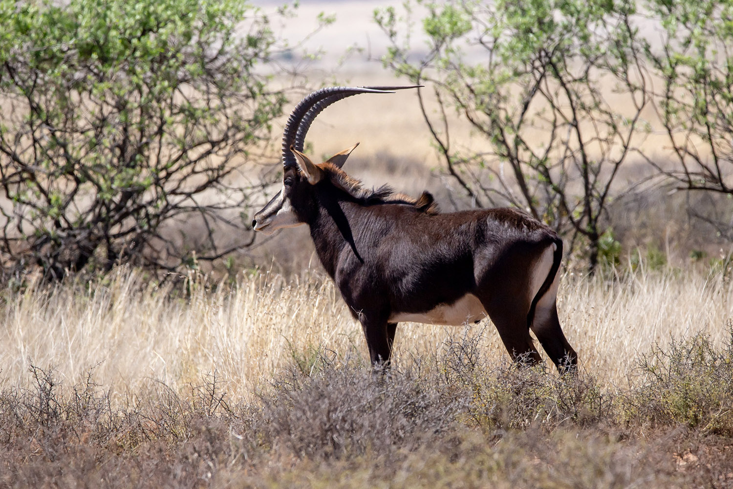
Springbok and various Karoo bird species are present throughout the year. Sightings are generally more frequent during cooler months, when animals remain active across longer daylight hours rather than seeking shade.
---
## Getting to Venterstad
Venterstad sits approximately 280 kilometres southwest of Bloemfontein and 70 kilometres from Aliwal North, on the corridor linking the Eastern Cape and Free State provinces. The N9 passes through this part of the Karoo and connects in both directions to the broader national road network.
Drivers from Johannesburg typically route through Bloemfontein and can expect to cover the full distance in around four to five hours under normal conditions. From Gqeberha (Port Elizabeth), the route north through Graaff-Reinet and Middelburg takes four to five hours. Cape Town involves a considerably longer drive, close to seven hours depending on the route.
The nearest commercial airport with regular scheduled services is in Bloemfontein, connecting to Johannesburg, Cape Town, and Durban. A rental car is the most practical way to cover the remaining distance from there to Venterstad. No scheduled public transport connects directly to the town, making private transport a necessity for almost all visitors.
A car remains essential once in Venterstad. The town centre is compact and walkable, but farms and surrounding settlements require driving. Most farm roads in the area are unpaved. Standard sedans manage these routes without difficulty in dry conditions, though some tracks may need a higher-clearance vehicle after significant rainfall.
---
## Venterstad and Surrounding Areas
The villages and farming settlements within easy reach of Venterstad form a cluster of small communities spread across the Northern Cape and Free State border region, all shaped by the same semi-arid agricultural landscape.
**Bravo**, just 4 kilometres away, is the closest. It functions as a small farming locality and represents the dispersed settlement pattern typical of the Karoo, where homesteads are anchored to large properties at considerable distance from one another. For travellers, it offers little beyond the particular rural quiet of the region at close range.
**Springfontein**, 17 kilometres from Venterstad, is a more established small town with a railway line running through it, a remnant of the infrastructure that once gave the town regional significance as a junction point. Springfontein's history extends into the Anglo-Boer War period, and the town carries a layered sense of the past that distinguishes it from the purely agricultural settlements nearby. It also offers slightly more services, making it a useful stop for supplies or a meal.
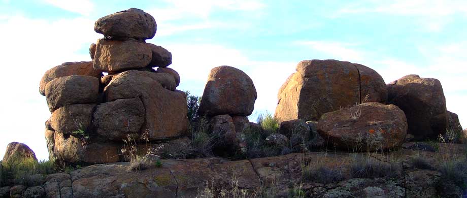
**Koppiesfontein**, at 22 kilometres, is a rural locality on the open plains. Its name references the flat-topped rocky outcrops common to this landscape, and the surroundings are characteristic of the broader Karoo interior.
**Berseba**, 26 kilometres out, is a small settlement where sheep grazing defines the surrounding land use. Like most communities in this stretch, it functions almost entirely around the farming calendar.
**Abelsruhe** and **Stoneleigh**, both 31 kilometres from Venterstad, sit at the edge of easy day travel from the town. These are farm-centred localities where agriculture shapes every aspect of daily routine. Neither carries tourist infrastructure, but both offer an unfiltered exposure to Karoo farming life for travellers who seek that experience.
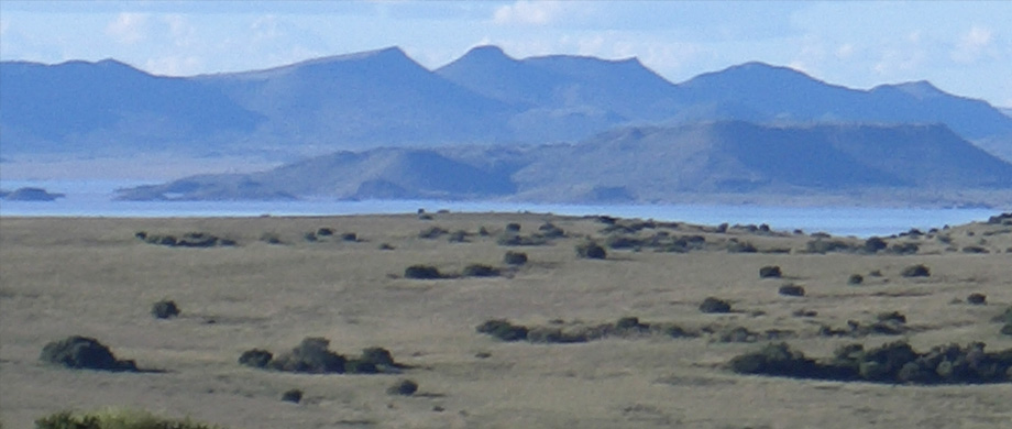
For a longer excursion, Gariep Dam, South Africa's largest inland water body, lies roughly 90 kilometres to the northwest. It provides water sports, fishing, and a nature reserve that contrasts sharply with the dry interior, making it a worthwhile full-day trip from Venterstad.
---
## Planning Your Stay
Accommodation around Venterstad is limited in quantity, so booking ahead is important, particularly during South African school holidays and long weekends when the N9 corridor carries more road traffic. Last-minute arrivals may find few or no options available.
Before confirming any property, check what is included in the rate. Establish whether meals are provided, whether linen and towels are part of the booking, and whether the property has stable electricity and water supply. Rural properties in the Northern Cape can be affected by both water interruptions and power cuts. If your visit falls during a period of active Eskom rotational cuts, ask the host directly about backup arrangements.
For farm-based accommodation, ask about road conditions close to your travel date. Farm tracks can become difficult or impassable after heavy rain, and confirming access shortly before departure avoids problems on arrival.
Fill up at the Venterstad petrol station before heading to more remote farms or continuing along routes with fewer services. Mobile coverage is inconsistent in the surrounding area, and some farms fall entirely outside reliable network range. Saving offline maps before departure is straightforward preparation that makes a practical difference once you leave the main road.