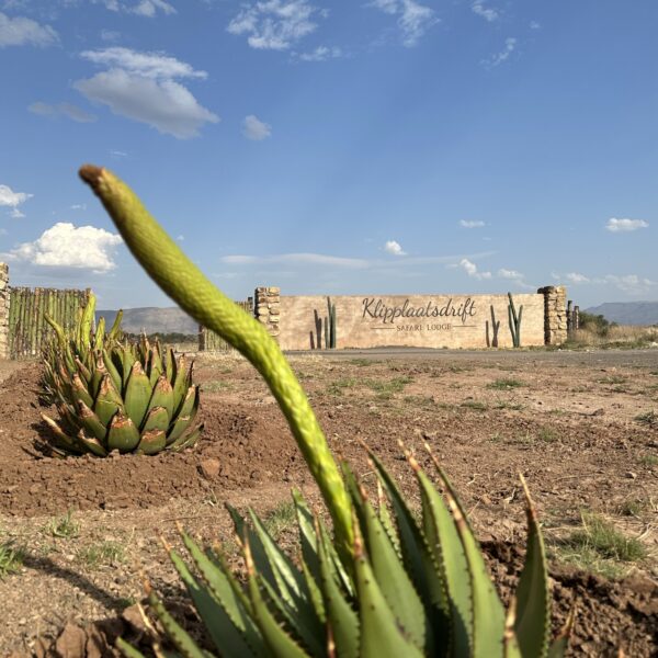
## Accommodation in Grootdam
The accommodation options around Grootdam are modest in number and skew toward the self-sufficient end of the spectrum. Properties in the area operate largely outside major booking platforms, with direct bookings being the norm rather than the exception. This is not a destination for package tourists. It draws people who want proximity to the water and the open, undeveloped landscape around the dam. Rates vary by season and operator, so contacting providers directly is the best approach to establishing realistic costs.
At the most affordable level, campsites near the dam are the dominant option. These typically provide basic ablution blocks and braai facilities, catering primarily to anglers who want to be on the bank before sunrise. Bring your own supplies, including food, firewood, and water beyond what the site offers. The experience trades comfort for immediacy, and most regulars consider that trade worthwhile.
For travellers who want a roof and a kitchen without a high price point, farm-based self-catering chalets fill the mid-range. These are often run by farming families with deep knowledge of the surrounding land, and a stay here comes with practical advantages. Owners can direct you to productive birding routes, advise on current conditions at the dam, and point out which roads hold up after rain. The accommodation is functional rather than decorative, and the surroundings generally compensate.
There are no large hotel chains or resort establishments in Grootdam itself. Travellers who need on-site restaurants, swimming pools, or reliable air conditioning will find those services only by looking further afield. The settlement is genuinely small, and that is the point for most visitors who choose it. Booking early matters during school holidays and long weekends, when demand for the limited available stock rises sharply. For the rest of the year, availability is rarely a concern.
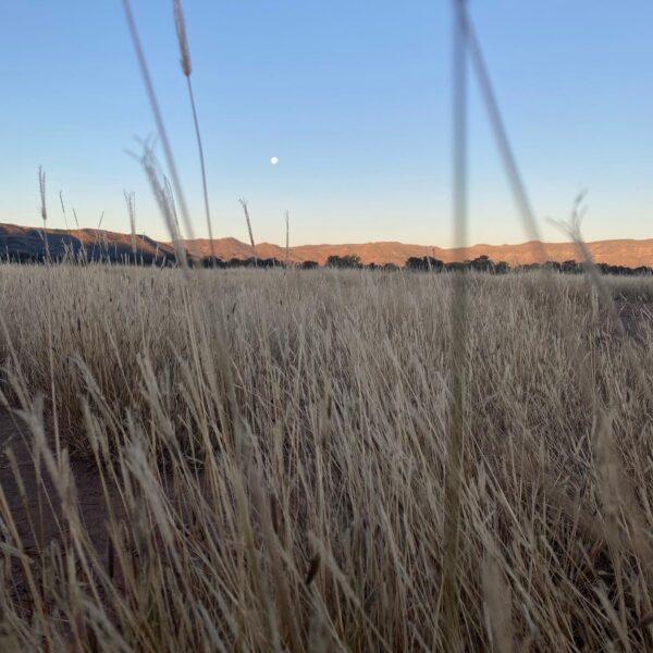
## Best Time to Visit Grootdam
The Northern Cape runs dry and sunny for most of the year, but the season shapes the experience considerably.
Summer, from November through February, brings intense heat, with daytime temperatures regularly above 35°C. The dam is at its most active during this period, with swimmers, water-sport enthusiasts, and anglers concentrated around the cooler morning and evening hours. Wind typically builds in the afternoons, affecting conditions on the open water. Rain falls occasionally in brief, heavy storms rather than sustained periods. Low-lying areas near the river can flood temporarily after a significant downpour, so checking road conditions after storms is wise.
The shoulder seasons, March to May and August to October, offer the most comfortable conditions for outdoor activity. Temperatures settle in the mid-20s, foot travel across the riverbanks and surrounding plains is manageable throughout the day, and birdlife is most active in these months. Visitor numbers are lower, making accommodation easier to secure.
Winter, June and July, means cold nights, sometimes dropping below 5°C, and mild clear days. Camping requires proper insulation and layers after dark. The compensating factor is the sky. The near-total absence of light pollution across this part of the Northern Cape makes winter nights the strongest period for stargazing, with the Milky Way visible to the naked eye on cloudless evenings. School holiday weeks in June and July bring a noticeable rise in visitors across the region.
## Getting to Grootdam
The main arrival point for visitors flying into this part of the Northern Cape is Upington, roughly 100 kilometres to the northeast, with scheduled flights connecting to Cape Town and Johannesburg. Hiring a car at the airport is the most practical option. Public transport does not serve the road to Grootdam, and the final stretch of the approach sometimes requires a vehicle with reasonable ground clearance, particularly after summer rain.
From Cape Town, the drive covers around 800 kilometres via the N1 through the Karoo, turning north on the N10 toward Upington. Most travellers break the journey overnight at a town along the route rather than completing it in a single day. From Johannesburg, the distance is roughly 850 kilometres, typically via Kimberley before heading west on the N8 or N10. Main roads are well maintained, though minor roads in the immediate approach to the dam can deteriorate after heavy summer storms.
Once past Upington, the route follows the river valley on regional roads through irrigated farmland and dry scrubland. Old irrigation canals from early 20th-century farming development are visible from the road in places, and the contrast between the cultivated strips along the water and the untouched plains beyond them is marked. Fuel availability beyond the last major town is limited, so filling the tank before leaving is important. There are no vehicle hire facilities locally, and any 4WD arrangements for the surrounding terrain need to be sorted before arriving.
## Grootdam and Surrounding Areas
Six settlements and landscape features within 30 kilometres of Grootdam make for worthwhile day excursions.
**Bonnyvale** (15 km) is a farming settlement where irrigated fields cover much of the valley floor, fed by the same water system that underpins Grootdam. The approach road traces a river corridor where dense riparian vegetation stands out against the drier surrounding terrain. For visitors interested in how irrigation reshaped land use in this part of the Northern Cape, the working landscape here adds useful context.
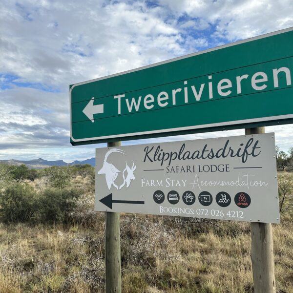
**Tweerivieren** (15 km), meaning "two rivers," sits at a watercourse confluence. Water convergences in arid landscapes concentrate vegetation and birdlife, particularly waders and raptors. An early morning visit rewards anyone with binoculars and patience.
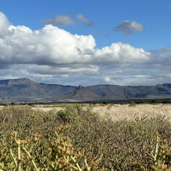
**Osberg** (20 km), roughly translating as "ox mountain," offers elevated terrain largely absent from the flat environment around the dam. The higher ground provides wider views across the plains and gives better spatial context to the valley below.
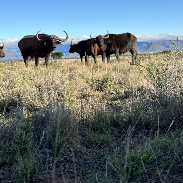
**Hartbeesnek** (21 km) takes its name from the red hartebeest, once common across the region. The neck is a natural low passage between rises in the terrain, historically a corridor for game movement. The open veld around it still supports antelope and occasional small predators, most visible in the early morning.
**Bakenshoek** (22 km), meaning "beacon corner," takes its name from historical survey markers used to demarcate farm boundaries across the Northern Cape. It is active farmland today, and its landscape reflects both the aridity of the region and the sustained effort to make it productive.
**Wolwekloof** (26 km), meaning "jackal ravine," is the most geologically distinct feature within easy reach of Grootdam. The dry kloof cuts through otherwise flat terrain, creating a micro-habitat with rock faces and shade-dependent vegetation different from the surrounding plains. Walking the ravine floor rather than driving past it gives the most accurate sense of its character.
## Planning Your Stay
With a small pool of accommodation available in and around Grootdam, forward planning matters. Demand peaks during school holidays, Easter weekend, and the winter fishing season, and properties fill quickly during those windows. Booking at least a week ahead in peak periods is sensible. For quieter times, a few days' notice is generally sufficient.
Before confirming a booking, call the operator directly. Ask about road conditions, particularly if there has been recent rain. Some properties are accessed via gravel tracks that become briefly impassable after heavy summer storms, and knowing this before you travel is preferable to discovering it at the gate. Clarify whether the property is grid-connected or off-grid, what cooking equipment is supplied, and whether firewood, gas, or extra water needs to be sourced before arrival.
Mobile reception across the area is inconsistent, so download offline maps before leaving the last major town on your route. Stock up on food and water beyond your planned requirements, as there are no shops or fuel stations in the immediate vicinity.
When choosing between properties, recent guest reviews are generally more informative than photographs for a destination of this kind. Operators who respond promptly to direct enquiries and can describe current conditions at the dam indicate a higher level of reliability than those who communicate only through booking platforms. If fishing is part of your plan, confirm licence requirements and any active seasonal restrictions before you travel.