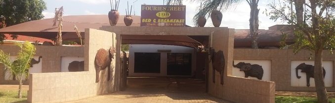
## Accommodation in Mokopane
Mokopane has a compact accommodation base, with 2 properties currently listed in the area. The options cover two distinct styles that between them serve the main types of traveler passing through this part of northern Limpopo.
At the most self-sufficient end of the scale, the campsite suits overlanders, road-trippers, and budget travelers who want to spend time outdoors without the cost of a formal room. Camping in the Limpopo bushveld has its own character, particularly in the dry season when nights cool down considerably and the sky beyond the town's low-level light pollution opens up. Prices for camping across South Africa are generally the most affordable accommodation category, though specific nightly rates for the Mokopane listing are not confirmed in available data.
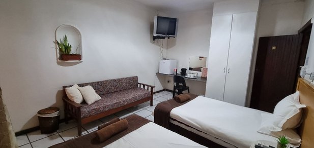
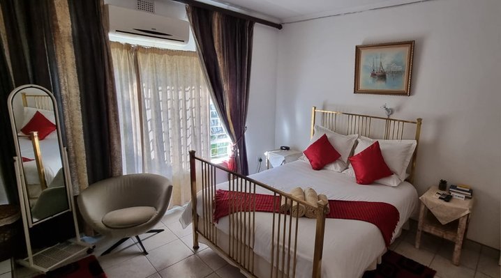
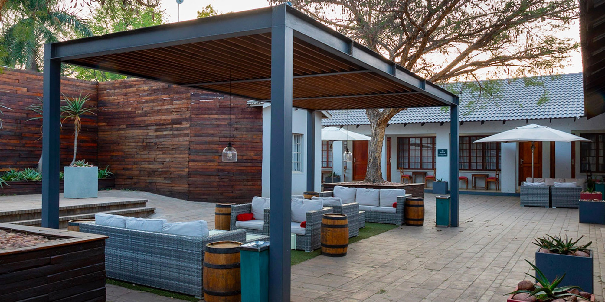
The lodge steps up in facilities, offering private rooms, bathroom access, and typically some form of catering or kitchen arrangement. Lodges along the N1 corridor tend to serve a mix of business travelers, visitors heading to nearby reserves, and tourists exploring the Waterberg region or the Makapan Valley heritage sites. The atmosphere in these properties is informal and practical rather than resort-oriented, which suits most of the travelers this area attracts.
Both options are suited to short stays of one or two nights for those in transit, as well as longer arrangements for visitors using Mokopane as a base for day trips into the surrounding landscape. The limited number of properties means flexibility is low during peak periods. Advance booking is strongly recommended for school holiday weekends, public holidays, and the winter game-viewing season from May to August, when demand across the wider region runs high.
---
## Best Time to Visit Mokopane
Mokopane's climate follows the Limpopo pattern of hot, wet summers and warm, dry winters, each offering a different kind of visit.
The wet season runs roughly November to March. Temperatures regularly exceed 35°C and afternoon thunderstorms are common, though they usually pass quickly. The bush responds to rain by turning green and dense, which appeals to birders who come specifically for Limpopo's diverse species. The downside is that thick vegetation reduces visibility in reserves, the heat limits comfortable outdoor activity to early morning and late afternoon, and some rural access tracks become impassable after heavy falls.
From May through August, conditions favor outdoor-focused visitors most. Vegetation thins considerably, wildlife concentrates around remaining water sources, and daytime temperatures are comfortable for walking and game drives. Nights in June and July can drop toward 5°C, so warm layers are worth packing.
September and October mark the transition back to summer. Temperatures rise rapidly and the landscape reaches its driest point, which often makes water-dependent wildlife easier to find. Archaeological sites in the area are accessible year-round but are most practical to visit during dry conditions, when interpretive trails stay clear and approach roads remain manageable.
---
## Getting to Mokopane
The N1 highway passes directly through Mokopane, placing it on the main corridor linking Johannesburg to the Zimbabwe border at Beit Bridge. From Johannesburg, the drive covers roughly 280 kilometers and takes around two and a half to three hours. Pretoria is approximately 200 kilometers to the south, a journey of around two hours under normal traffic conditions.
The nearest airport with scheduled domestic services is Polokwane International, about 60 kilometers north. Flights connect Polokwane to OR Tambo International in Johannesburg and to Cape Town, with OR Tambo being the main entry point for international visitors. From Polokwane Airport, the drive south to Mokopane takes around 45 minutes on the N1.
Intercity bus services including Greyhound and Intercape stop in Mokopane on the Johannesburg to Musina route. Shared taxis also operate along the N1 corridor and link the town to Polokwane and neighboring communities.
Once in the area, a private vehicle is the most practical option. The archaeological sites, reserves, and surrounding rural communities are not realistically accessible on foot or by public transport. Car hire is available at Polokwane Airport for visitors arriving by air.
---
## Mokopane and Surrounding Areas
The communities within a 20-kilometer radius of Mokopane reflect the agricultural and rural character of this part of Limpopo, with small townships and farming settlements filling the landscape between the N1 town and the wider bushveld.
**Potgietersrus (4km)** shares its history directly with Mokopane. The name continued in everyday local use after the official municipal renaming in 2003 and still serves as a reference point for the adjacent area. At this short distance, it functions more as an extension of the same urban catchment than a separate destination, with commercial services and residential areas spread across both.
**Tshamahansi (11km)** is a community in the agricultural belt surrounding Mokopane. Smallholder farming and subsistence agriculture are characteristic of settlements in this zone, and a drive through gives a clear sense of how the local food economy operates beyond the highway.
**Ga-letwaba (14km)** and **Ga-mokaba (16km)** are small townships within the Mokopane municipal area. The "Ga-" prefix common in Limpopo place names indicates a community associated with a specific chief or family in the local Sotho-Tswana tradition. Neither is a conventional tourist stop, but roadside traders and informal markets are typical features of both, and they round out any understanding of how the area functions socially and economically.
**Doornfontein (18km)** sits further into the rural landscape. The Afrikaans name translates to "thorn fountain," a reference to the dry acacia thornveld ecology that dominates the transitional zone between the lowveld and the higher Waterberg terrain to the west.
**Twinvallei (19km)** lies in a folded landscape where the terrain breaks into shallow valleys, offering a different visual character from the flat agricultural plains closer to the N1. The drive out is worth the detour for those interested in the local geology or wanting to see how the Limpopo bushveld changes as it moves away from the highway corridor.
---
## Planning Your Stay
With two properties available in the area, it pays to move early. Contact accommodation directly as soon as travel dates are fixed rather than waiting until a few days out. Peak periods along the N1 include Easter weekend, Workers' Day in May, and the June-July school holiday block, all of which push up demand across Limpopo properties.
Before confirming a booking, check whether meals are provided or if self-catering facilities are available. Smaller properties in towns like Mokopane do not always offer evening food service, and restaurant options in the area can close early. If you expect to arrive after dark, ask about late check-in procedures, as some smaller operations do not have staffed reception overnight.
For anyone planning to visit the Makapan Valley heritage sites, confirm current access arrangements before you leave. Certain areas require permits or guided entry, and availability can vary. Your accommodation host is often the most reliable source of up-to-date local information on this.
Carry cash in rand as a backup, since card facilities at smaller rural properties are not always reliable. Fill up on fuel in town before heading onto farm roads or into valley terrain. Mobile coverage is generally solid in Mokopane itself but can become patchy on unmarked tracks and in lower-lying areas beyond the main road.